Arrived at the Lowell Road boat launch in Concord, MA early this afternoon to find this bit of trash neatly placed at the base of a tree. The contents of the bags indicated a group of folks had spent an enjoyable day alongside the river emptying plastic water bottles, soda and beer cans, food packaging, and bait tubs. Not finding a convenient trash receptacle, they left it on the ground where someone else would have to deal with it, hopefully before animals ripped open the bags.
In deciding to deal with it, my first decision would be whether to sort out the recyclables or not. Oddly enough, only this morning I'd read an article in the Boston Globe about this very issue in the neighboring state of Vermont. The article mentioned how a new Vermont law will require the separating of recyclables from rubbish, and wonders what effect this will have on next year's Green Up Day in which volunteers clean up litter throughout the state. The article states "A waste management official said it would be nearly impossible to get volunteers to separate the trash, but it might be irrelevant, because recyclables collected alongside roads are usually too wet and dirty for recycling." Really? Most of the folks I know who volunteer to clean up litter are willing to separate out the recyclables. It can be done while collecting by using different colored trash bags, or at the conclusion of the collection. Collectors are already wearing gloves so it's just one additional step in the process and it brings about a better end result. Too wet and dirty for recycling? First time I've heard that.
This is how the trash looked before being sorted...
The same trash, after sorting out the recyclables...
My feeling is, if I'm going to take the time to clean up the trash, it's worth taking just a little more time to make sure the recyclable materials don't end up being buried or incinerated.
Either way, with the orphaned trash removed, the area looks better...
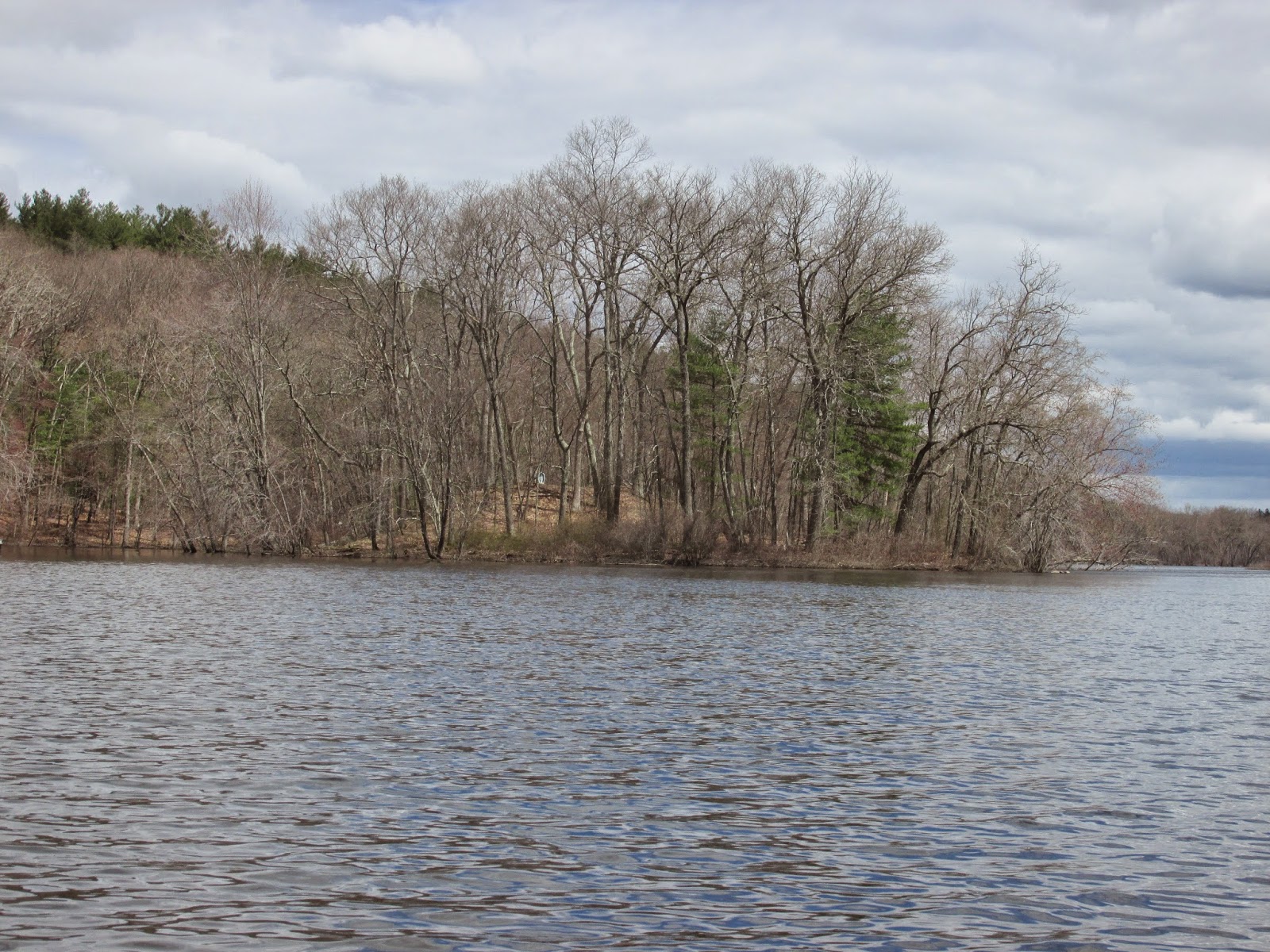
Once finished I launched my boat and enjoyed a fine Cinco de Mayo paddle of the Assabet River between Egg Rock and Route 2.
Water levels have dropped quite a bit as this look at the Egg Rock inscription reveals...
Plastic and Styrofoam trash was found snagged on branches a good foot or so above present water levels.
This was the trash found while out in my boat...
Getting ready to surf his way out of the mess was this little guy...
Tuesday, May 5, 2015
Sunday, May 3, 2015
Above Mine Falls
Saturday morning provided ideal conditions for the New Hampshire Appalachian Mountain Club Paddlers (NHAMCP) to begin another season of trash patrols. Yesterday's event, as usual, was organized by Denise Hurt and included 12 boats, a mixture of kayaks and canoes.
Early morning fog was just burning off as we assembled at Mine Falls Dam on the Nashua in the river's namesake city.
Shortly boats were launched and participants headed upriver scouring the riverbanks for trash...
It seemed everyone was glad to be soaking up some sunshine...
At a point approximately 2 miles above the dam, we turned about and began heading back to the boat launch...
That's when this "eye in the sky" put in an appearance above Mine Falls...
A first time drone encounter for this paddler.
With this assortment of trash removed from the river...
...participants enjoyed sandwiches provided by D'Angelo's.
Sorting of the trash showed there being 176 recyclables, 154 pieces of rubbish, 5 tires, and several boards.
Denise has additional trash patrols lined up for the first Saturdays of June, July, August, September, and October.
Wednesday, April 29, 2015
Wamsutta's Canoe Camp
This morning I finally visited a place I'd only previously read about. In fact, until very recently, I wasn't aware that the actual (approximate) location, where one of the most pivotal events in Anglo/Native American relations occurred, was known...and that there were commemorative markers there.
As the large stone (at left) states, Wamsutta (aka Alexander) was the eldest son of Massasoit (aka Ousamequin) and, like his father, he occasionally spent time at a family hunting lodge located on or near White Island in Monponsett Ponds in present-day Halifax, MA. Diagonally across Route 58 from Wamsutta Landing (at junction of White Island Rd and Rt. 58) is this historical marker which tells the story...
Of course there are many different versions of this story but most seem to agree that Plymouth Colony authorities in 1662 demanded Wamsutta appear before them to explain rumors of his possible plot against the colony. When he didn't appear at their appointed time, they authorized Major Josias Winslow to find/arrest him and bring him before them. Winslow found Wamsutta and a group of his friends either fishing, hunting, or getting canoes at White Island in Monponsett Pond. Within days of his being detained by Winslow, Wamsutta fell ill and died (either en route to his home or possibly a day or two after arriving there). His sudden illness and death couldn't be readily explained by his captors. Wamsutta's wife, Weetamoo, and brother, Metacomet (aka Philip), both came to believe he'd been poisoned by his captors.
Leaves me to wonder how history might have been different if the Plymouth officials hadn't so blatantly overstepped their authority.
A very early start allowed me to get to Monponsett Pond in Halifax, MA several hours before the daily wind machine got cranked up...
...and I launched onto a mirror like surface from Wamsutta's Landing. My plan was to paddle in a northwest direction to the pond's outlet, Stump Brook. In doing so I would be following a small section of the Wampanoag Commemorative Canoe Passage which runs approx. 70 miles from the mouth of the North River in Scituate to where the Taunton River empties into Narragansett Bay.
I soon realized I wasn't the only loon on the water...
My new friend came right up to the bow of my boat...
Reaching the pond's northwest corner I entered Stump Brook and followed its meandering path for three quarters of a mile...
At that point the brook runs alongside an earthen dike up to a concrete dam...
The waters flowing downstream from the dam...
...eventually become the Satucket River which, in turn, flows into the Taunton River.
The view looking northwest from atop the earthen dike...
Once back at Monponsett Pond I paddled through the culvert (under Rt. 58) which divides the pond into two lakes (east and west)...
By now the wind machine and clouds had taken over. I stayed in the East Lake only long enough to snap this photo of White Island's east side...
White Island today is connected at each end by causeways and therefore no longer a real island.
While I saw only 2 other boats out on the water this morning, I get the feeling that things will soon be getting a lot busier.
The trash encountered and recovered along the way...
Monday, April 27, 2015
The Clouds and Wind Machine
As has been the case for months here in New England we're stuck with a weather pattern that keeps repeating itself, day after day.
Early morning sun quickly disappears behind dark bottomed clouds pushed south by a steady north wind.
Late this morning I paddled north on the Concord River from Bedford in hopes of finding a switch that could be turned off.
While there was an endless supply of clouds, very little trash was encountered until past this small island in Billerica...
Between the island and Rt. 3, the left side of the river produced quite a bit of trash...not sure if it floated in at high water or was left behind by riverside visitors...
Saturday, April 25, 2015
Spring's Fits and Starts
Yesterday's afternoon paddle on the Charles River (photo at left) wrapped up a week which included visits to the Sudbury and Nashua (with Capt'n Dangerous) rivers sandwiched around a terrestrial Earth Day patrol with Mrs. Trashpaddler.
The theme of the week was a cold and relentless wind out of the north and west with early morning sunshine that rapidly dwindled each afternoon. Despite the fits and starts, spring continues to gain ground with grass getting green...
...and skunk cabbage leafing out...
One bonus of the still bare trees is seeing the many interesting rock formations along river banks (this one on the Charles)...
...and these along Indian Brook in Broadmoor...
Trash, like the weather, was fickle with most being found on solid ground. Wednesday's Earth Day terrestrial patrol of roads and a brook in our town produced the most...
Thursday's trash was mostly found in the area of this otherwise beautiful Nashua River boat launch in Pepperell...
...and serves to remind that Dunkin Donuts has started yet another season of Styrofoam proliferation in the form of iced-coffee huggies...
As someone from the "Common Sense" state of Maine said "Wouldn't a napkin suffice in keeping one's fingers dry?".
A lone sign tries to dissuade...
The least trash of the week was encountered yesterday on the Charles River between Farm Rd in Sherborn and Indian Brook in Broadmoor...
Being a fan of confluences I'd never before noticed this sweet little island where Indian Brook enters the Charles, until yesterday...
Wednesday, April 22, 2015
Connecting to a Time and Place
I arrived at the bridge only 339 years to the day after my direct ancestor, Joseph, (some 9 or 10 grandfathers ago) did. He along with about forty men from Watertown (present Weston) responded to the alarm and arrived at about noon on April 21, 1676 to find the town of Sudbury under attack by Native American forces during King Philip's War.
On the west side of the river, the Haynes Garrison House and its inhabitants had come under attack at about daybreak (as this monument placed where the garrison house once stood attests)...
A group of men from neighboring Concord had arrived earlier and attempted to aid those in the garrison house. Unfortunately, in crossing the river and marshy meadow, they'd fallen into an ambush where at least 8 of them perished.
Joseph and another man from the Watertown contingent, Daniel, were tasked with recovering and burying the bodies of those men. The two men later wrote (before spell-check) "On the next day in the morning soe soon as it was light we went to looke for the Concord men who wear slain in the River middow an thear we went in the colld water up to the knees where we found five and brought them in Conus to the Bridge fut and buried them thear...."
The monument near the bridge's east abutment lists the names of the Concord men...
...it stands near the spot where they are buried.
I try to visit the monument each spring around the actual anniversary date as I feel a strong connection to this specific event and locale of King Philip's War. I find plenty to think about, and wonder what Joseph would think of one of his descendants, all these years later, paddling around the very waters where he'd performed such a grim task. I wonder what the "Conus" they used looked like. Might they have been dugouts?
The trip upriver and back from Sherman's Bridge was made under fickle skies. Sometimes cloudy, cold and windy, other times sunny and warmer.
One of the sunnier moments...
Not another warm-blooded soul was encountered except for this musquash enjoying a snack...
Trash in the form of plastic items was scooped up mostly between the old bridge and the newer Route 27 bridge...
Happy Earth Day!
Stay green my friends.
Monday, April 20, 2015
Middletown to Haddam Neck
It was nice of Cristoforo Colombo to see us off yesterday morning at Harbor Park in Middletown by a swift flowing Connecticut River. After consulting the Connecticut River Boating Guide Source to the Sea, Paul, Tom and I decided to paddle the approximately 14 miles down to the river's confluence with the Salmon River in East Haddam, CT.
The park is located downstream of the Arrigoni Bridge and an abandoned railroad bridge, and near the point where the primarily southerly flowing Connecticut veers to the east before settling on the southeasterly course it will follow for its last 30 miles.
Harbor Park (below)...
is on the small side with parking for about a dozen cars (additional parking across the street at dirt lot). There were no toilet facilities (perhaps too early in the season?).
Once launched Tom and his boat were framed by the aforementioned upstream bridges...
Then we were off with the swift current helping us to easily maintain 6 mph and soon approached Bodkin Rock and the "Straits"...
Life was good!
Proving, once again, the importance of location, the Native American people who lived in this area were known as the Wangunks which is said to mean in Algonquian "people of the bend".
Following a lunch break at Hurd Park we resumed our easy downriver passage. Near Higganum a stiff breeze out of the south and the last stages of an incoming tide combined to slow our progress considerably.
From there to our takeout at Salmon River it was hard work, hugging the eastern shore as much as possible.
We passed on visiting Haddam Island and only stopped briefly at the former Connecticut Yankee nuclear power plant site to check out the controversial orange barricade...
...preventing boaters from accessing the one mile long canal which once carried cooling water from the plant. The canal was open to boaters after the plant's closing in 2007, but was barricaded in 2013 due to security concerns related to the storing of spent fuel rods at the site...a reflection of our post 9/11 world I guess. Recent news reports, however, indicate the barricade may soon be removed.
This area where the plant once stood is known as Haddam Neck, and this link provides an excellent overhead view of the neck looking to the south. The Salmon River is to the left.
A small sampling of the considerable trash seen along the river's banks...
Subscribe to:
Posts (Atom)