Wednesday, August 31, 2022

The Sunken Fort Below Wantastiquet


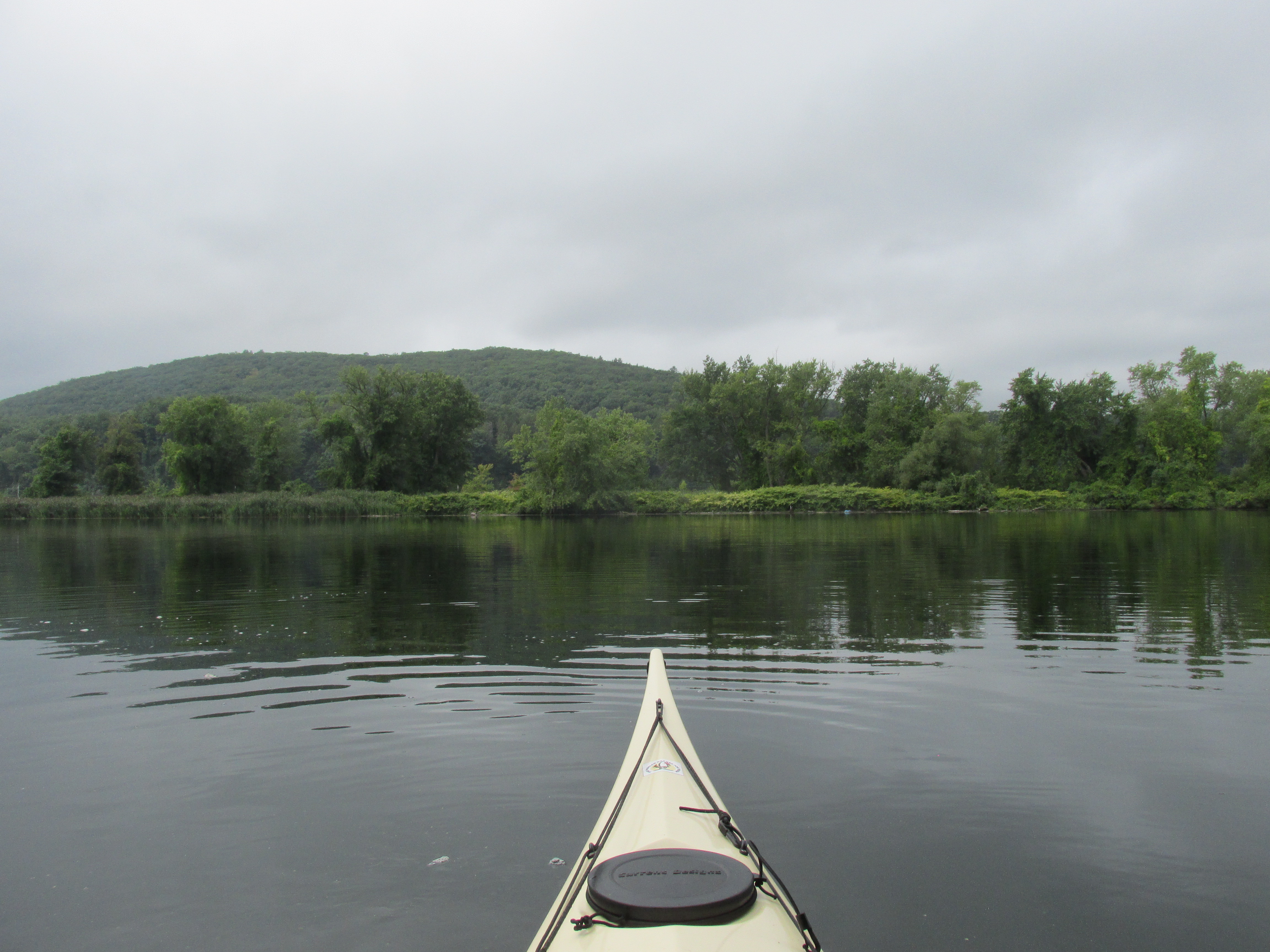
This past Sunday morning I decided to paddle to the fort below Wantastiquet Mountain known as Fort Dummer.  Unlike Fort Ticonderoga and Fort St. Frederic, both on Lake Champlain and visited earlier this summer, there isn't much to see in the way of ruins for Fort Dummer as the site has been submerged below the waters of the Connecticut River since 1909.  The fort was built in 1724 per the order of Lt. Governor William Dummer on lands believed at the time to be within the Province of Massachusetts Bay.  They were called the Equivalent Lands and there's a convoluted story on how they came into William Dummer's possession.  The story involves a 1687 purchase of a 12-mile long parcel of land above Northfield, Massachusetts.  The parcel extended 6 miles from each side of the Connecticut River. Subsequently this land was set aside by Massachusetts for Connecticut as the Equivalent Lands.  Connecticut later sold the land to help fund Yale University, and the final divvying-up of the Equivalent Lands occurred in 1718 at the Green Dragon Tavern in Boston. However, all of that was nullified in 1741 when a new border survey commissioned by King Charles 1 placed the fort's location within New Hampshire.  Even later in 1777 it became part of Vermont and is believed to be the first European settlement in the Green Mountain state.  At the time the fort was built Europeans were encroaching into the Abenaki people's world and the Abenaki were resisting this encroachment.  In this struggle the western Abenakis were led by Greylock who is said to have conducted many successful raids while also successful in evading capture.  Legend has Greylock earning the name Wawanolet meaning "he who fools the others, or puts someone off the track".

To reach the fort I launched from Hinsdale, NH a bit upriver from the Vernon Dam Hydro-electric station...
...the very dam that drowned the fort's location.

Heading upriver I next passed the shuttered Vermont Yankee nuclear facility...

...and continued upriver to the mouth of Broad Brook...

Here I knew I was getting near the submerged location of the fort and the historical marker that was relocated in 1908 just before the valley was flooded.  To reach the marker I needed to pass through a low-headroom culvert where Venter Brook enters the river...

This brought me into a pond of sorts where Cerosimo Lumber sits at the pond's SW corner...
...and the historical marker resides at the pond's NW corner (intersection of Cotton Mill Hill Rd. and Vernon Street)...

Etched into the concrete above the plaque is "This marker moved 2200 feet northwest from the original site Nov. 7, 1908".  

Then it was back through the culvert and upriver just a bit to the now submerged spot where Fort Drummer is said to have stood between 1724 and 1771.  Looking westward from the guesstimated location of the fort I tried to imagine how isolated the men who manned this fort found themselves.  They were expected to go out on patrols to the surrounding country looking for signs of the Abenaki or the French.  The fort was equipped with a "Great Gun" the sound of which could be heard for many miles.  There are numerous stories of the patrols having to fight their way back to the safety of the fort.   
Compare the above view with this artist's conception of the fort...
...found on the Windham County Vermont local history and geology at usgennet.com.  The fort was built using yellow pine and the walls are believed to have stood about 20 feet high.

This may have been the view downriver from the fort's elevated watchtower...
...towards the nearest European settlement in Northfield, MA about 10 miles to the south.

While searching for more info on the web I came across an 1891 tracing of a 1749 drawing of the fort...
...found at Brattleboro History 2. Equivalent Lands and Fort Dummer at vhist.com.  The tracing is attributed to Matthew Patten.  The river is shown in the lower right hand corner.
 
Another map I came across was this one...
...with an inset showing the fort's dimensions in feet and a tunnel leading to the river...
This map was found through archive.today at brattleborohistory.com and attributed to William St. John though the map bears the name J. W. Blake 1814 which may have been the year it was drawn.

According to Mary R. Cabot's Annals of Brattleboro 1681 - 1895, Fort Dummer was initially staffed by 43 men and was only attacked once in October of 1724 by a force of about 70 of the enemy who killed or wounded 4 or 5 of the fort's occupants before being repulsed.  Later the fort also served as a trading post and was finally closed around 1760.  Fort Dummer was dismantled sometime in the 1760s or 1770s.   

Additional info on the fort and its location were found at the blog Sokoki Sojourn, and the Harrington Collection of Fort Dummer artifacts.  Most of the artifacts were collected by Walt Harrington during the 1970s when the river was temporarily lowered during repairs to the Vernon Dam.


Before leaving the area I paddled a little further upriver past the abandoned Fort Hill Branch RR bridge...
...where I got a look at the Route 119 bridge connecting Brattleboro, VT to Hinsdale, NH...


On my way back downriver the valley came alive with the sounds of Amtrak's Vermonter as it made its southward passage along the river.

Spotted this immature eagle not far from the takeout on the river's east side...

Approaching the takeout and seeing water being sprayed high through the trees I first feared that my car had caught fire...then thought it might be a salute of some sort...but ultimately believe it was a training session for Hinsdale firefighters...
...brought back memories of when I had a smaller prostate.


Earlier in the week, on Wednesday, I visited the Assabet River in Stow and Maynard, MA.  It was good to see some water actually flowing over the dam as the result of recent thunderstorms...


Paddled upriver...


...eventually reaching the site of the eagles nest that is no longer in existence.  One of the two eagles that entered this world high in a pine above the river was still hanging around the exact spot where the nest used to be...


Not much in the way of trash on either river.

The Assabet had this...

...and the Connecticut had this...


Monday, August 22, 2022

Too Much Draft in a Drought


Last Thursday I found myself standing in the middle of the Assabet River while looking up Nashoba Brook towards the rail trail bridge and wondering "where the heck did all the water go?"  Nashoba Brook is one of the Assabet's larger tributaries and I suspect it doesn't get this low very often.  The drought conditions are really taking hold on the more shallow rivers in eastern Massachusetts.

I'd launched into the Assabet just upstream from the MBTA commuter rail bridge in West Concord, MA.  While the river looked shallow going in a downriver direction, it was even worse looking upstream towards the Main St. bridge...


I headed downriver and not far below the railroad bridge ran aground with my boat having too much draft (especially with me in it).  So, I took to towing my boat downriver by its painter...

I did finally find adequate depth near where the Concord Foundry used to be and from there was able to paddle down past Route 2.  

Not too far below Rt. 2 I came across this large and thirsty straw sucking hundreds of gallons from the river's very limited supply... 

The pump was operating in the middle of the day which isn't the most efficient time of day to operate sprinklers.  

On Sunday morning I paddled to the Sudbury/Assabet rivers confluence where there was almost enough dry ground in front of the Egg Rock inscription for pitching a tent...

Aside from the sand bar where the Assabet and Sudbury join, the Concord River had adequate depth for my boat, other canoes/kayaks, and even a few cautious power boaters.

With such low water levels the fish have fewer places to hide which is benefitting the ospreys, kingfishers, and herons.  This great egret also was on scene...

  From below Davis Hill it looked like clear sailing...

Noted this newly-built housing...

Between the Assabet and Concord rivers a few interesting old bottles were stumbled upon...

The oldest is most likely the embossed Clicquot Club pint-bottle which originated in Millis MA where the once famous ginger-ale was bottled starting in the late 1800s.  I'm guessing the bottle I found dates to the early 1900s.  Another bottle labeled "Pure Spring Water" had an applied color label on which there was faded text mentioning a natural spring "Where the Indians came to drink".

Thursday's trash....


Sunday's trash...

 Today rain is falling and every drop in the bucket will help.


Wednesday, August 17, 2022

Merrimack - Hunts Falls to the Great Stone Dam


Recently explored the stretch of the Merrimack River between Hunts Falls in Lowell, MA and the Great Stone Dam in Lawrence, MA (2 days last week and one day this week).  I don't know why, but for some reason I've rarely visited this section of the Merrimack River despite it being within 30 miles of my home .  Back in 2013 I did launch informally from behind a parking lot in Methuen, MA  and paddled up to Pine Island and back but never returned to see more.  

I ultimately decided to paddle the approximately 8.5 mile distance between Hunts Falls and the Great Stone Dam by doing two up/back and one down/up paddle.  I utilized two boat launches: one an informal launch off of Route 110 in Dracut about 3 miles downriver from Hunts falls, and the other the Riverside Boat Launch in Methuen which provides dedicated parking, a ramp and dock.   While I actually started with the middle section then the upper and lower sections, I present them here in sequential order downriver from Hunts Falls.  The above photo shows the view downriver from below Duck Islands.

This map shows the first section from Hunts Falls down to the informal boat launch...

The informal boat launch I started from....


...and this very upright fellow I passed enroute to Hunts Falls...


Once at the base of Hunts Falls...

...I found myself about 2000' from the Hunts Falls Bridge which was just around the bend and out of view.  Another 500' beyond the bridge is the confluence of the Concord and Merrimack rivers.  The land I could see was, long ago, reserved for the Wamesit people and was comprised of 2,500 acres on the east side of the Concord River and 1,500 acres on the west side of the Concord.  

Just below Hunts Falls and on the north side of the river is the Greater Lowell Regional Wastewater Treatment Facility.  On the opposite side is what appears to be a combined sewer outfall facility...

All the storm release gates were closed and dry which is one benefit of our drought conditions this summer.  Just downstream ample quantities of ducks were enjoying the river around the appropriately-named Duck Islands...

The shallow pool below the islands looks to be a favorite spot for shore-fishermen.  Sadly, they didn't pack out what they brought in and left a considerable pile of trash on the shore...

My trip back downriver included one tree that broke ranks and decided to change color early...

On the river's south side I came across this crewless and derelict Matchbox vessel.  Despite its rough condition it was still afloat and seaworthy...


Next along the same shady side of the river was this sign welcoming me to Andover...

On a different day I resumed my downriver journey having launched from the Riverside Boat Launch in Methuen...


Pine Island...


The mouth of Fish Brook near the Deer Jump Reservation...

One of many orange booms I encountered...
...which may be used for capturing flotsam.  If so, they were all free of any accumulation.

Next I reached the Shattuck Farm Site and walked to one of the lower terraces closest to the river...

According to Barbara E. Luedtke in her 1985 book The Camp at the Bend in the River: Prehistory at the Shattuck Farm Site "Shattuck Farm (in Andover) is one of the most famous prehistoric sites in the lower Merrimack....".  "The location has been in virtually continuous use for at least 8,000 years...".   Luedtke speculates that one reason for folks using the site was its proximity to Peters Falls which she believed may have been where the Route 93 bridge is located today.  The falls would have provided good fishing and the land at the site was well drained and dry.  When the Shattuck Farm was developed for an office park in the 1970's the Town of Andover placed a several mile-long strip of land along the river into a conservation easement thus preserving it from development.  There is a continuous trail running alongside the river.  I passed under one of the trail's bridges to access a secluded wetland...


A kiosk near the bridge provided a map of the trail system...

The section showing the Shattuck Farm site...


The Shattuck Farm site is across the river from the Riverside Boat Launch in Methuen.  This photo  shows the proximity of Ivy Island (on right) and the Rt.93 bridge to the Riverside Launch...

Yesterday I paddled the stretch from Riverside Boat Launch down to the Great Stone Dam...

After passing under the Route 93 Bridge I looked back to where Barbara Luedtke surmised Peters Falls may have been located before the Great Stone Dam raised the river's level here by 8 to 10 feet...
Luedtke mentioned that Ivy Island may be the small island once said to have been located near the top of the falls.

Few buildings remain along the river's south side.  This one looked to have had a utilitarian river-related purpose...

Just beyond the abandoned building I left Andover...

Upon entering Lawrence a sizable marsh opens to the south...


Approaching the dam the river was busy thanks to Greater Lawrence Community Boating with youngsters enjoying sailing in a busy breeze out of the north...

View over the Great Stone Dam with the Broadway/O'Leary Bridge just beyond the dam...

The most distinctive mill structure in view was the Ayer Mill Clock Tower...
...which now sits above a New Balance facility.

The Great Stone Dam is said to have been the longest (900')  dam of its type in the world when it was built.  Barbara Luedtke wrote "The dam at Lawrence, begun in 1845 and finished in 1848 was an engineering marvel for its time, but the quality of the engineering did not extend to its fishway, which was a dismal failure.  Therefore, 1848 also marks the end of the famous fishery on the Merrimack."

On my way back upriver an osprey was seen transporting his next meal...


My trash haul for Monday...

Thursday's...


Yesterday's...

The trash I encountered was mostly in the nooks and crannies hard by the shore where only a small vessel such as a canoe or kayak could get to it.  
 

Sandwiched between my Merrimack paddles, were visits to the Assabet in Stow, MA and the Sudbury River in Lincoln, MA.

On the Assabet River last Wednesday I found the eagles nest now completely gone...


Despite the nest not being there, a recently fledged eaglet was still hanging perhaps in hopes of getting a food delivery from his parents...


Some trash from the Assabet...


Last Friday on the Sudbury River I paddled with my granddaughter...


  ...who saw her first-ever bald eagle on the river's Fairhaven Bay in Concord...