This past Friday's fleeting taste of summer weather provided perfect conditions for paddling some of Boston Harbor Islands National and State Park. The above looks across Hingham Bay towards the distant Boston skyline.
I launched from Hingham Harbor and paddled by little Button Island just after sunrise...
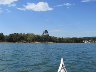
While paddling past Crow Point and towards Slate Island the unexpected cry of a loon was heard and drew my attention...
I know loons winter in the ocean but it seemed more than a little early to me.
Upon making landfall at Slate Island the many broken bits of slate explained the island's name...
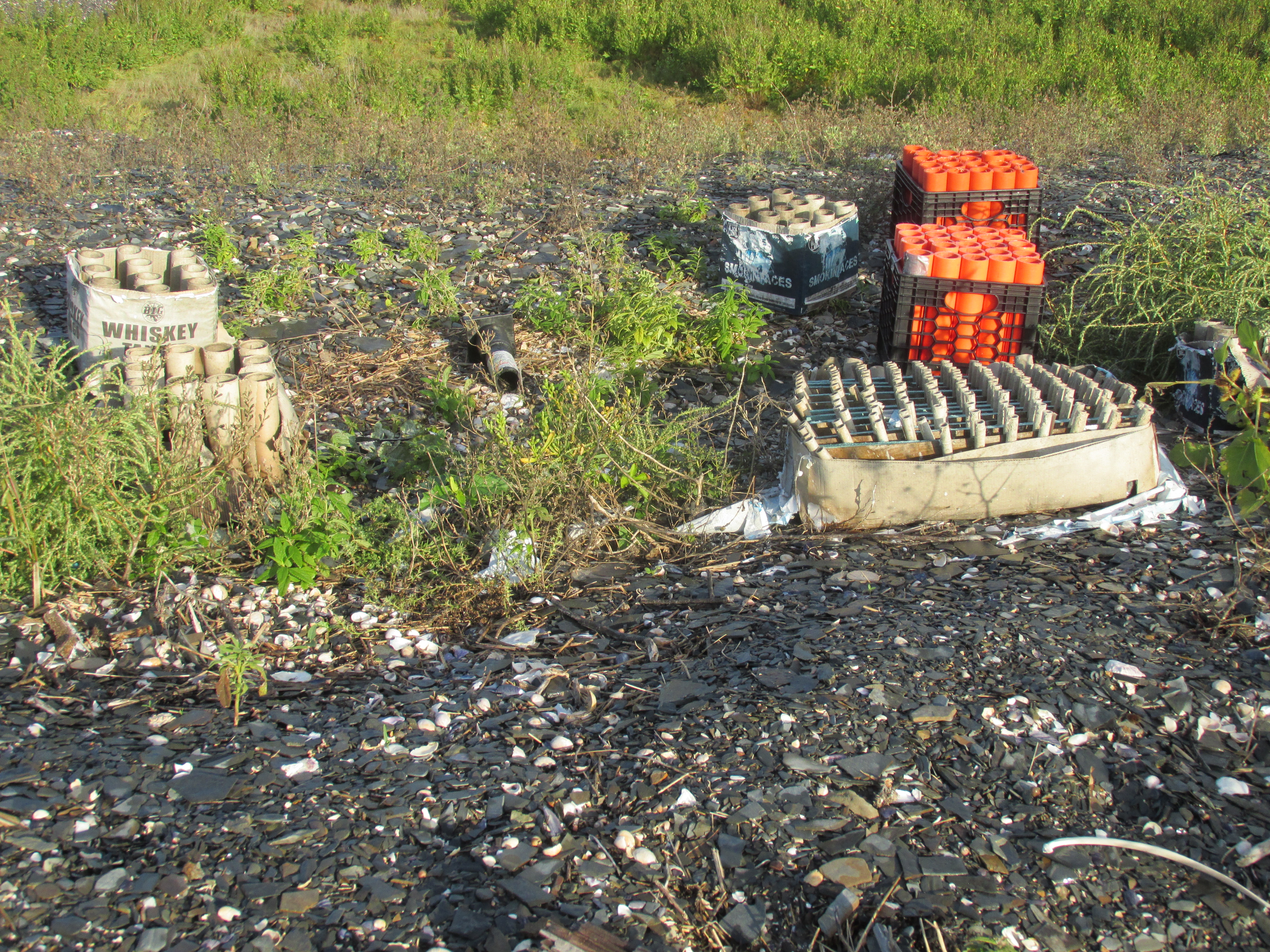
One spot on the island had been used as a launching spot for fireworks...
...with names such as Whiskey Tango and Smokin' Aces.
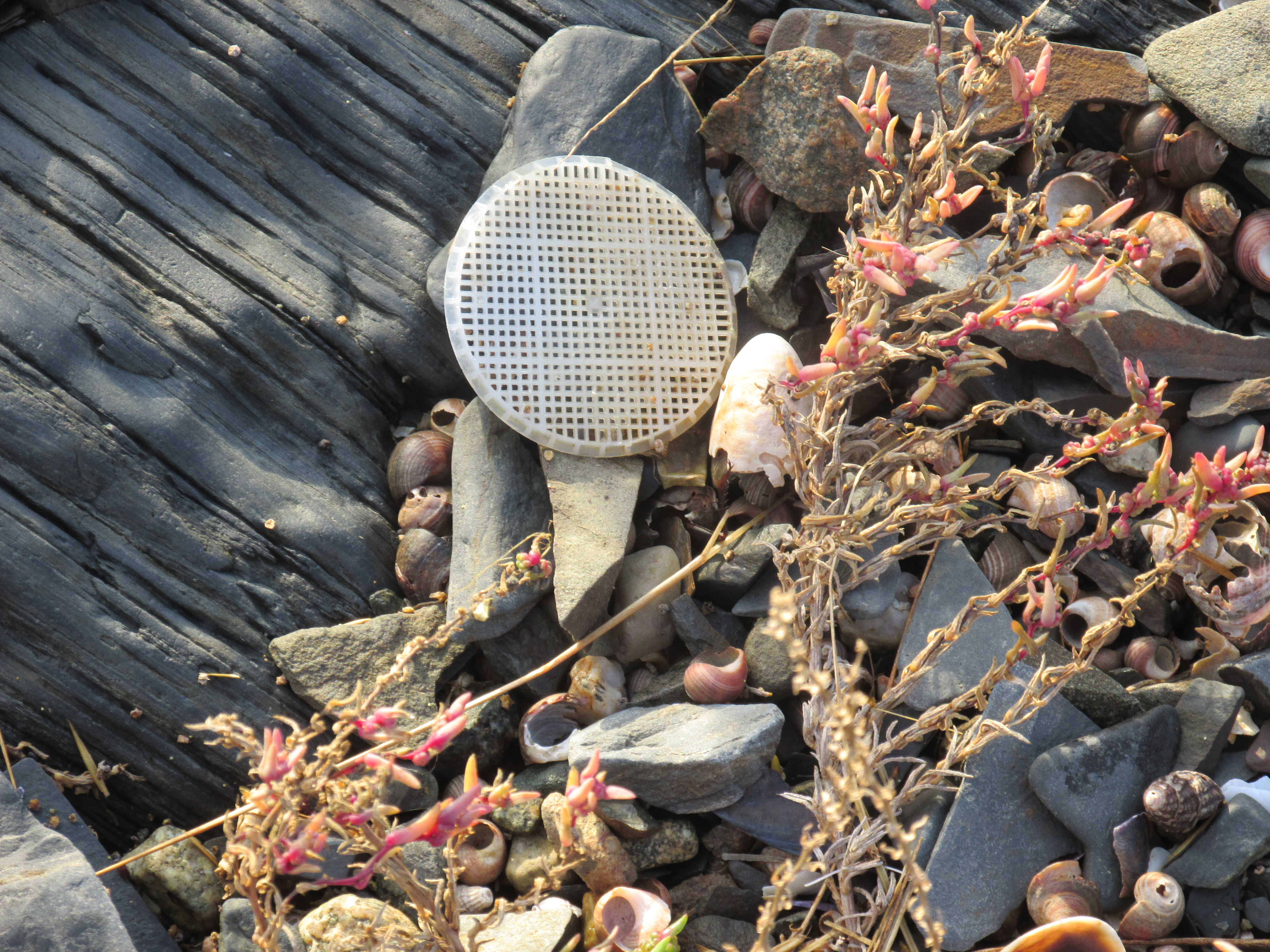
Also seen was this lone-wandering wafer from a wastewater treatment plant located some 40 miles inland from the Merrimack River's mouth at Newburyport...
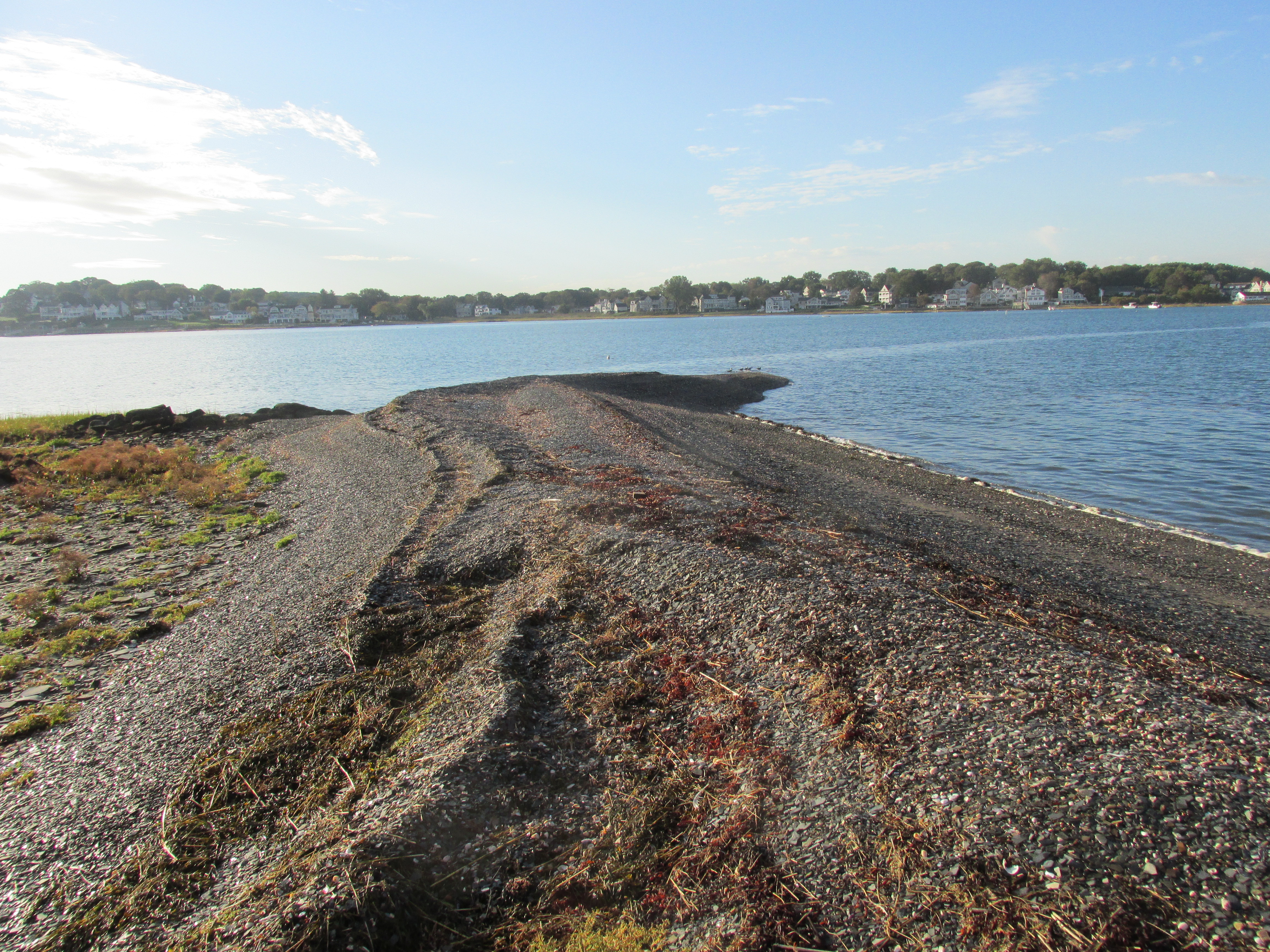
A wave-sculpted spit stretched from the island...
Leaving Slate Island I headed over to the 101-acre Grape Island and was greeted by this welcoming committee on the way...
Landed on the grassy ocean side of the island made easy by the high tide and sea grass...
Later I re-launched and paddled around the island to its more official landing spot. On the way paddled past this interesting rock which may be an example of Roxbury Puddingstone...
...which I recently learned is the Massachusetts state rock. Who knew?
Approaching the Grape Island landing...
...with its pier and dock built to accommodate boats much bigger than mine...
As far as I could tell I had the whole island to myself.
A stone foundation remains on the island and is explained...
Near the island's highpoint were several primitive campsites...
View of Boston from one of the benches...
According to bostonharborislands.com: "Since it was never used for industry or defense Grape Island has retained its serenity and natural beauty".
Upon leaving Grape I gave thought to paddling to the presumed site of a 1622 settlement known as Wessagusset near Weymouth's Fore River. However reaching the entrance to the Fore River would require crossing a channel fairly busy with ferry boats and other commercial traffic...
So instead I opted for the Back River which was relatively mellow by comparison. Stayed close to the Hingham side of the river while passing Hewtitt's Cove...
...which was the point where most of the ferry boats were stopping for passengers.
Beyond Hewitt's Cove I approached Stodder's Neck where many folks and their dogs were enjoying the day...
Crossing under the Route 3A bridge area I was about a mile or so east from where the Wessagusset Plantation site is presumed to have been located between the Fore and Back rivers. Thomas Weston established this English settlement 2 years after the Plymouth Colony, and Wessagusset was intended to be a commercial enterprise rather than a religion-based settlement. Unlike the Plymouth Colony there were no women and children...only 60 men. The Englishmen of the Wessagusset Plantation were ill-suited to farming and hunting and unable to conserve their food supplies. Because of this they frequently resorted to stealing from the Native Americans. The situation deteriorated to the point where the Plymouth Colony felt their intervention was required. Plymouth officials had heard rumors from the Native American, Hobbamock, of there being a Native American conspiracy involving the Massachusett and 7 other tribes. Hobbamock attributed the rumors to his friend Massasoit and claimed the aforementioned tribes were in agreement and planning to attack the Wessagusset settlement. Based upon this information Plymouth Colony sent Myles Standish and 7 of his soldiers along with Hobbamock to save the Wessagusset settlers from such an attack. According to Edward Winslow's Good Newes from New England (1624), Standish and his men found the plantation's ship Swan at anchor and unguarded. Fearing the worst they fired a gunshot which resulted in the Wessagusset settlers emerging from the adjacent woods where they'd been gathering ground-nuts and other food. Standish asked them why the ship was unguarded and they replied that all was fine and they had no reason to fear the Indians. Standish then convinced them otherwise and shortly thereafter lured several members of the Massachusetts Tribe into a room for a meal and some supposed trading. Once in the confines of the room he and his men killed Peskuot, Wituwamat, and a third man. Witawamat's teenage son was taken outside and hanged. Standish then ordered that any other Native Americans should be killed as well. When Standish left he took the severed head of Wituwamat with him to Plymouth where it was mounted on a pole for all to see. This marked the end of the original Wessagusset Plantation. So, with this being the day before Indigenous People's Day, I'm left to wonder if such brutal measures by Standish were justified considering they were based only upon rumors of a conspiracy. Was there really such a plot?...or was it concocted by rivals of the Massachusetts Tribe who stood to gain? I suspect only Hobbamock and Myles Standish knew the real truth. Wonder if either of them ever lost any sleep over it. Guess we'll never know for sure.
All food for thought as I crossed under the Route 3A bridge. Here the gathering pace of the outgoing tide persuaded me to turn back despite the inviting view further upriver...
My trip back to Hingham Harbor was made easy with a southwest breeze at my back. It was an incredible day to be out on the water. The course I paddled is marked in red on this map from a 1995 Massachusetts Coast Guide produced by the Massachusetts Coastal Zone Management Office...
Earlier in the week, on Tuesday, I paddled the Nashua River from the Oxbow NWR in Harvard, MA where glimpses of fall color are starting to appear...
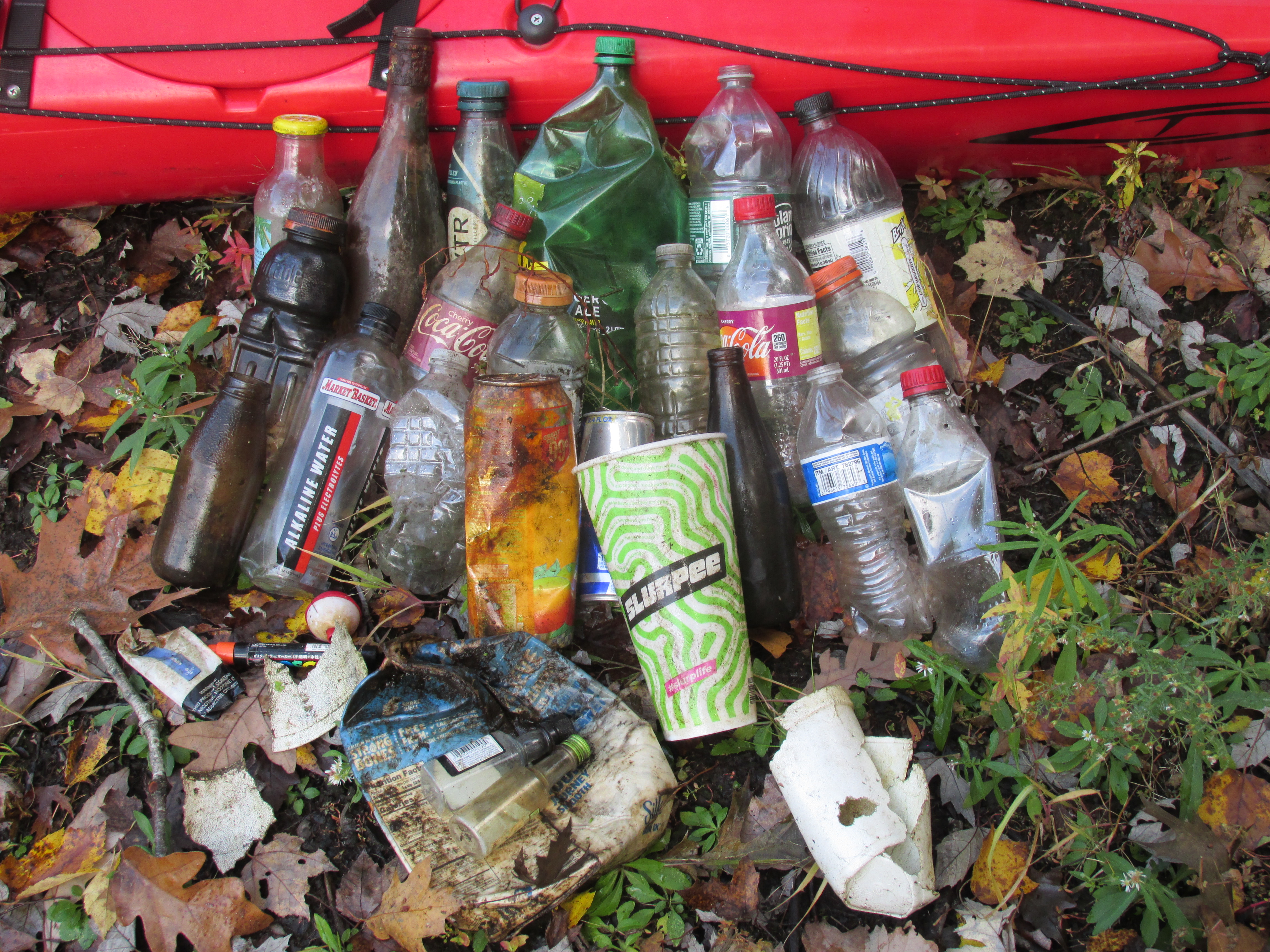
Trash for Tuesday...
...included another 68 nip bottles from this stretch of river where they seem to grow on trees.
Trash of a saltier nature from Friday...

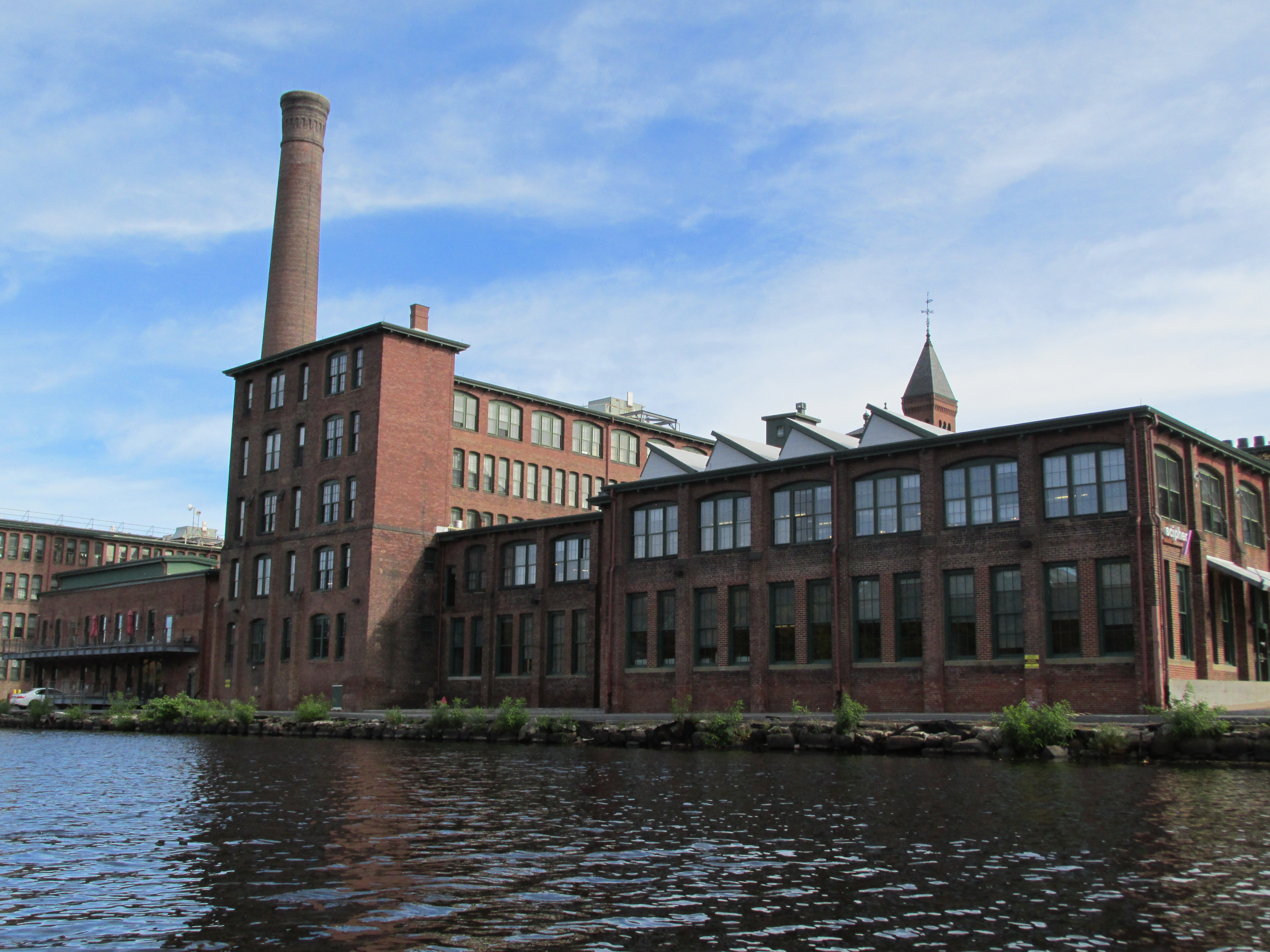
 Post-paddle while researching the history of the Gleasondale Mill I came across a study done for the Stow Planning Board by the UMASS Center for Economic Development which mentioned the Gleasondale Mill being "a classic example of the Rhode Island System"... and describing the Rhode Island System as where mill "owners attempted to replicate the patterns of traditional New England life for their employees. Company-owned houses were built near the mills, to accommodate workers and their families. Schools, stores, and churches soon followed." According to the study the first textile mill at Gleasondale was built in 1813 when the village was known as Rock Bottom. This is just one year before the Boston Manufacturing Co. mill was built in Waltham. Thus these two mills were built around the same time, on different rivers, following different systems of operation. As I understand it the Rhode Island System created mill villages, whereas the Waltham System went bigger and created mill cities such as Lowell, Lawrence, and Manchester, NH all on the Merrimack River.
  ...and there was still some fall foliage to be enjoyed...
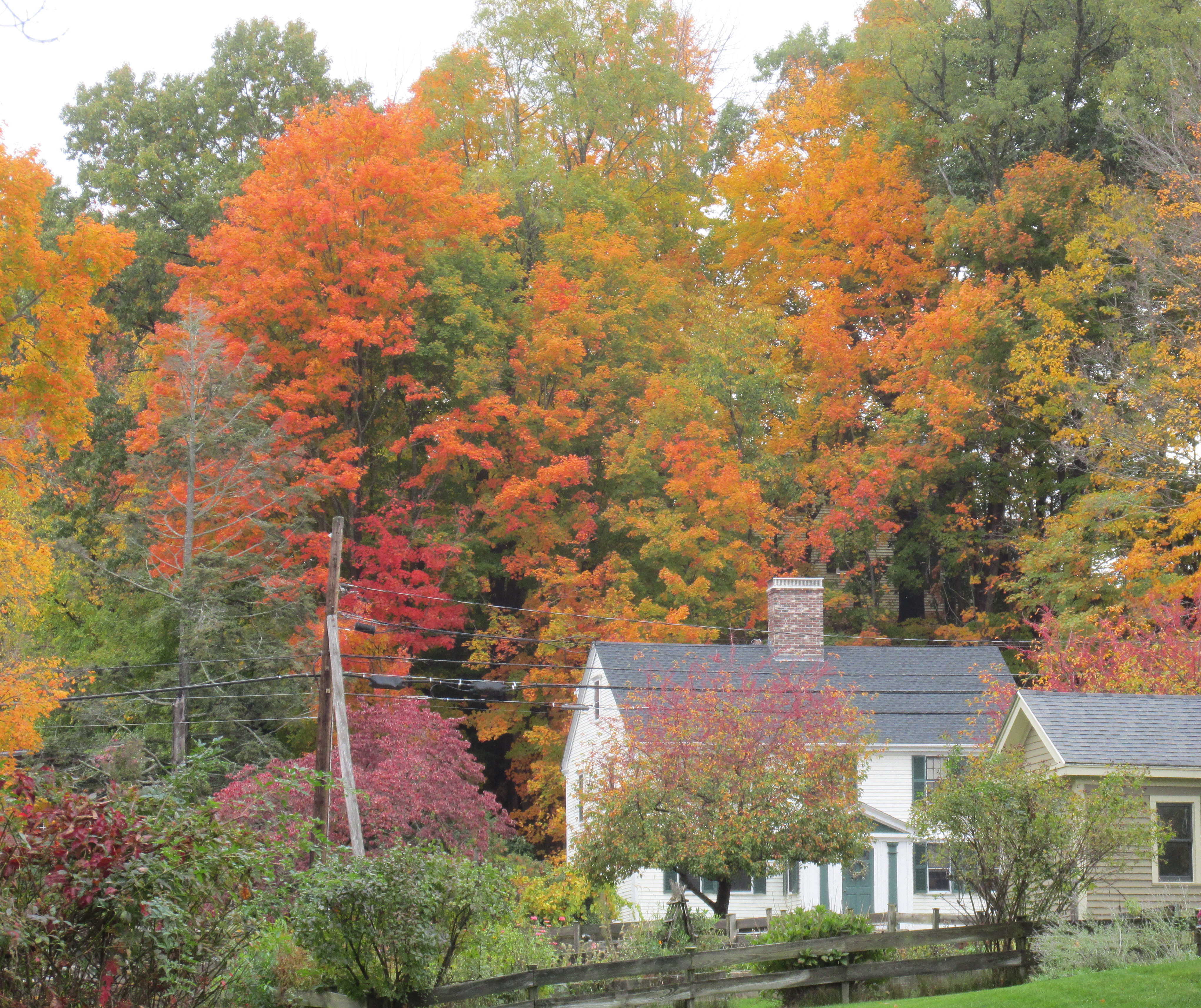
 ...and I believe this facility followed the "Waltham System" in the mass production of watches.
 ...a northern water snake I believe.


.JPG)


.jpg)


