After visiting the submerged site of Fort Dummer (1724 to 1760) in Brattleboro, VT 2 weeks ago, I decided to return there and spend some time this past Wednesday exploring the waters immediately upstream of the fort.
On my previous visit I tried to imagine the 40 soldiers stationed at the fort looking downriver towards the English settlements they were hoping to protect. On this visit I tried to imagine their thoughts as they looked northward into an untamed and unknown world they'd be expected to scout. After all, according to The Annals of Brattleboro by Mary R. Cabot, their mission was "...to be employed in scouting a good distance up the Connecticut River, West River, Otter Creek, and sometimes eastwardly above Great Monadnock for the discovery of the enemy coming toward any of the frontier towns." In The History of Eastern Vermont by Benjamin H. Hall I read of one such patrol lead by Captain Eleazer Melvin in May of 1748 that left from Fort Dummer and headed up the Connecticut River to Fort Number 4 where they joined with Captains Stevens and Hobbs before following the "Indian Road" along the Black River to Otter Creek. After the captains split-up and headed in different directions, Melvin's patrol continued to the shore of Lake Champlain and found themselves on the opposite shore from the French Fort St. Frederick at Crown Point (which I visited earlier this summer). Upon seeing Indians in 2 canoes they imprudently fired upon them revealing their presence. This resulted in a large force being dispatched from the fort and Melvin and his men beating a hasty retreat. Eventually they headed back to Fort Dummer following the West River route. Thinking they'd eluded their pursuers they rested alongside the river and began shooting salmon for eating and by doing so revealed their position which resulted in 6 of Melvin's men being killed. Melvin and the rest ran for their lives back to Fort Dummer arriving there on June 1st. They'd been away from the fort for 19 days.
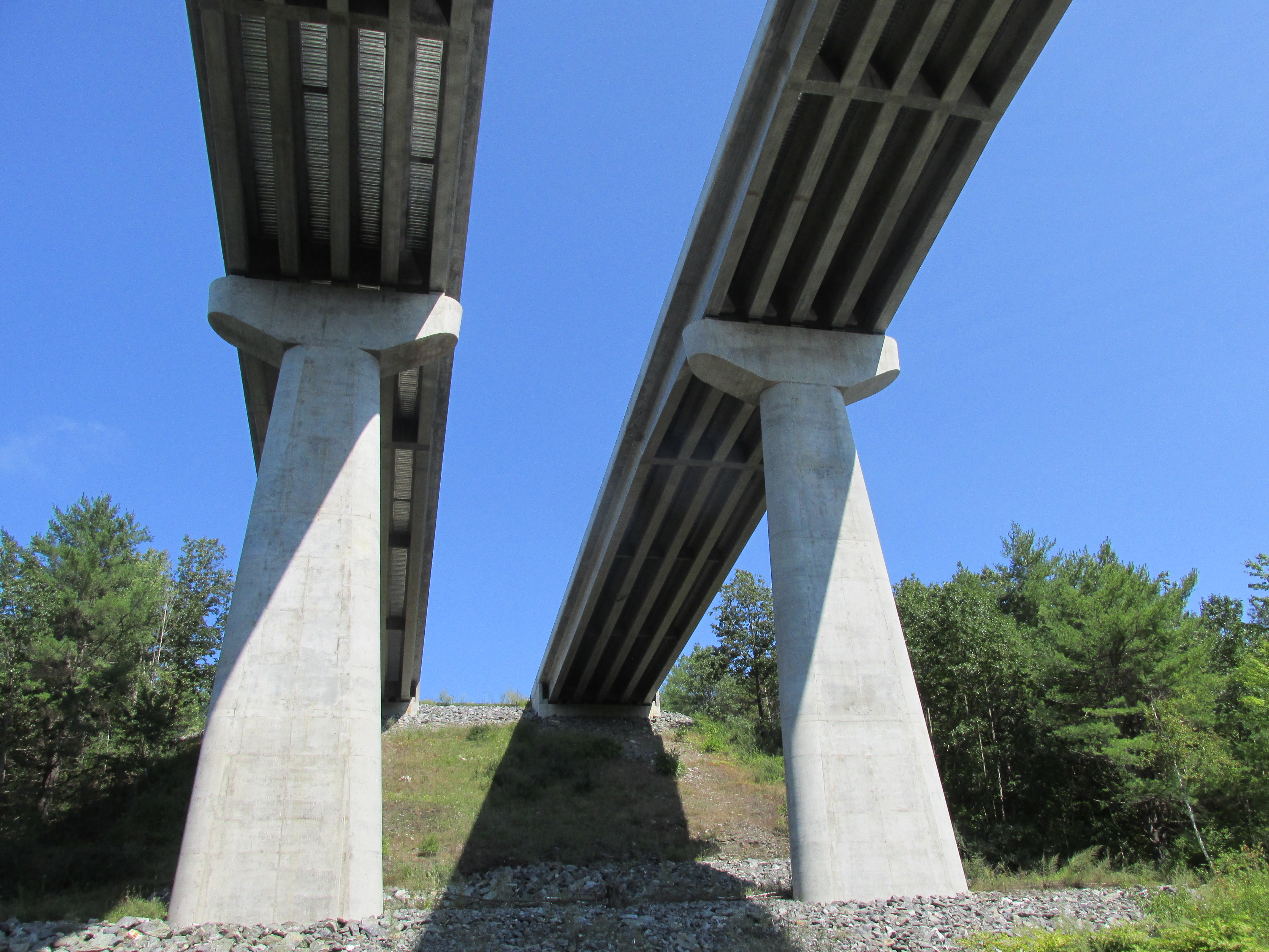
As I paddled upriver from Fort Dummer I passed under the Route 119 bridge connecting Brattleboro, VT and Hinsdale, NH (opening photo). The first tributary above the bridge is Whetstone Brook...
...where navigable waters extend only a short distance in from the Connecticut. Not much further upriver is the confluence of the Connecticut and West rivers. Heading into the West River I passed two sites where Native American petroglyphs lie submerged, just like Fort Dummer, due to the Vernon Dam. The Retreat Meadows launch site allows access here...
...and is where I concluded my first day's paddle allowing time to setup camp at the Brattleboro KOA.
On Thursday I'd planned to launch on the Connecticut's opposite side at the Cartop Boat Access near the Route 123 bridge in Walpole, NH...
...however, despite my best efforts, I could find no established path to the river. So, I decided to cross back over the river and drive a bit further upriver to Herrick's Cove in Rockingham, VT. The change in plans worked out well as I got to spend some enjoyable time exploring the Williams River...
This river is named in honor of Reverend John Williams who was one of 112 Deerfield residents taken captive by a force of French and Indians and marched north to Canada in 1704. On the 5th day of their journey his captors allowed him to preach to his fellow captives near the confluence of this river with the Connecticut. Heading upriver on the Williams one soon passes under the Route 5 bridge built in 1929...
...and then around the bend are the concrete pillars supporting Interstate Route 91...
This river's route is also followed by the Green Mountain Railroad between Bellows Falls and Rutland...
Wildlife encounters included this great egret...
...and this green heron...
An immature eagle was also seen being seemingly harassed by ducks in flight.
I ran out of deep water about 1.4 miles upstream where during a lunch break the sun finally broke through making for a pleasant return trip. Stopped on the way back to marvel at the concrete structure carrying Route 91 high overhead...
Once back on the Connecticut I headed further upriver to Roundeys Cove before turning about...
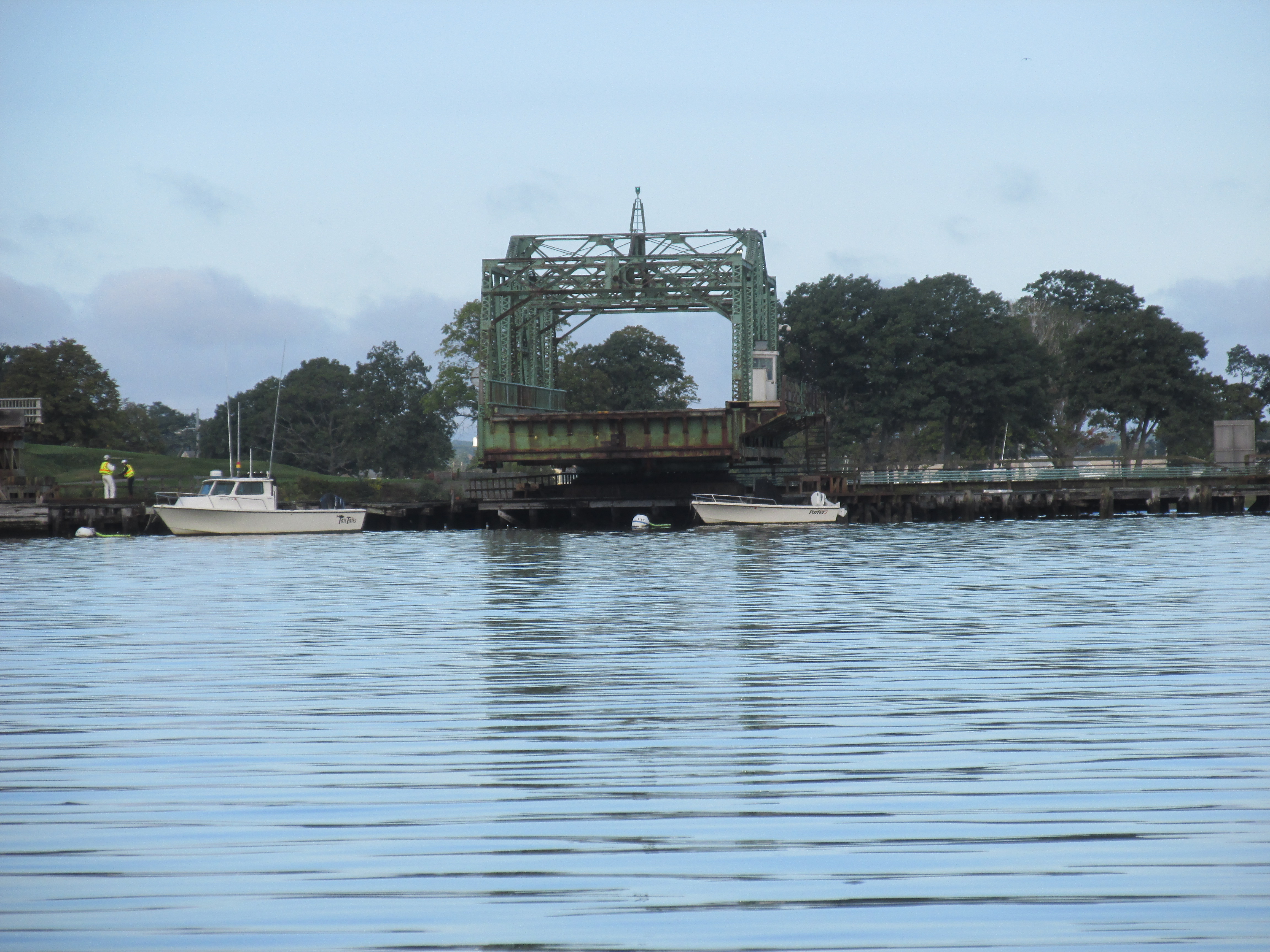
On the way back to Herrick's Cove I caught a glimpse of Amtrak's southbound Vermonter on the New Hampshire side...
About 25 miles south of here the passengers on this train will come within a few hundred feet of the site of Fort Dummer and never know it.
After breaking camp on Friday morning I launched from Old Ferry Road in Brattleboro and headed up river into the morning's fog...
On the Chesterfield, NH side of the river this immature eagle watched my approach...
Went up as far as Catsbane Brook...
...which was mentioned several times in accounts of Fort Dummer scouting expeditions.
Then it was downriver to the Route 9 bridge...
...where an adult eagle was also enjoying the view...
Arriving back at the boat launch I waited until this thirsty yellow beast was finished drinking from the river...
...before landing my boat.
Once off the water I began the trip home but not before visiting the Fort Dummer Cemetery in Hinsdale, NH. The cemetery is on a knoll across the river from where the fort was located. There is no identifying sign, only tombstones...
The only tombstone I saw that mentioned Fort Dummer was that of Hannah Willard the wife of the fort's Captain Josiah Willard and also the mother of Nathan Willard the fort's last captain...

Oddly, her husband Col. Josiah Willard who died in 1750 is buried in the Old Dunstable Cemetery in South Nashua, NH. Henry David Thoreau in his journal entry for July 2, 1858 mentioned seeing Josiah Willard's gravestone: "Noticed the monument of Josiah Willard esq. Captain of Fort Dummer Died 1750 aged 58". Upon leaving the cemetery and walking a short distance to the shore of the Merrimack River he wrote the following: "What a relief and expansion of my thought when I come out from that inland position by the graveyard to this broad river's shore -- Suddenly I see a broad reach of blue beneath, with its curves and headlands, liberating me from the more terrene earth. What a difference it makes whether I spend my 4 hours nooning between the hills by yonder roadside - - or on the brink of this fair river within a quarter of a mile of that! Here the earth is fluid to my thought -- the sky is reflected from beneath --and around yonder cape is the highway to other continents!" On the same day's journal entry he later wrote: "River towns are winged towns".
Trash beyond Fort Dummer was on the light side.
Wednesday's...
Thursday's...
Friday's...


.JPG)