
This past week we finally escaped the grip of a swirling low pressure system stuck off the mid-Atlantic coast. Day after day it sent cool maritime air westward on gusty winds. On Tuesday I escaped the reach of those winds by traveling to Royalston in north central Massachusetts. Once there I launched into the Tully River's east branch and headed upriver to the north...

Jacob's Hill is to the river's east and provided a barrier to gusts from that direction. Water levels were ideal for paddling over beaver dams and allowed me to reach the hiker/mountain bike trail bridge...


The Tully is part of the Connecticut River watershed and its waters eventually reach Long Island Sound.
The little taste of summer found here came to an end as I drove eastward on Route 2 post-paddle. Car windows that were rolled down were soon cranked up again once east of Fitchburg.
Later in the week on Friday came the real feel of summer. After an early-morning launch into the Merrimack River in North Chelmsford I watched the last bits of fog retreat to the east...

Passed this turtle who'd already secured a primo spot for sun-basking...

A fairly humble riverside hut built with materials readily available...

The UMASS Lowell Boat House was looking sharp in the morning sunshine...
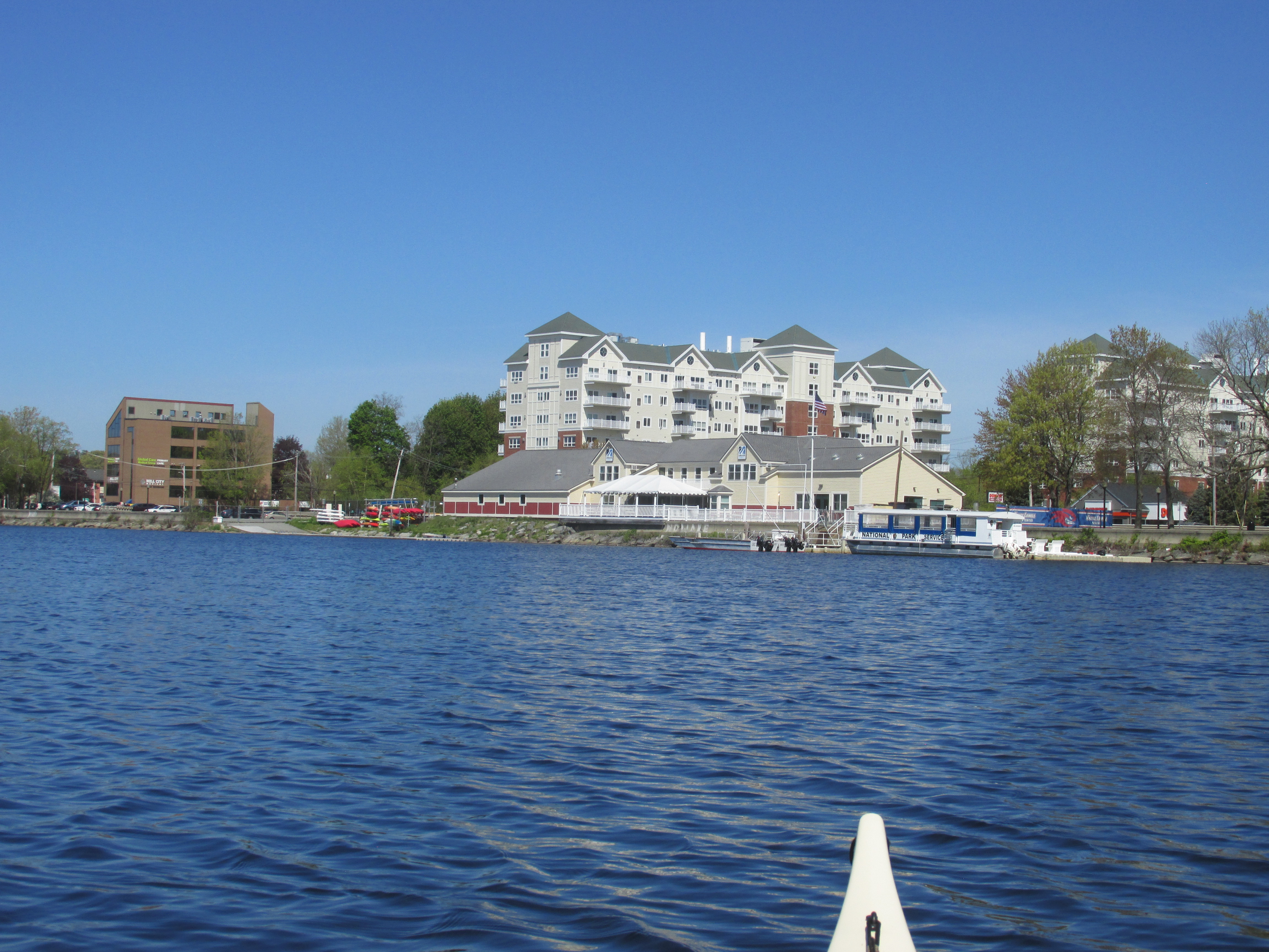
On the opposite side of the river from the boat house I could make out the roof of the Swaminarayan Hindu Temple...

...which serves as a point of reference to where the Middlesex Canal long ago entered the river through a series of locks (about 500 feet east of the temple).
Heading upriver I passed the south end of Wickasee Island and paddled up the canal on the island's east side. A brand new Island Road Bridge spans the canal...


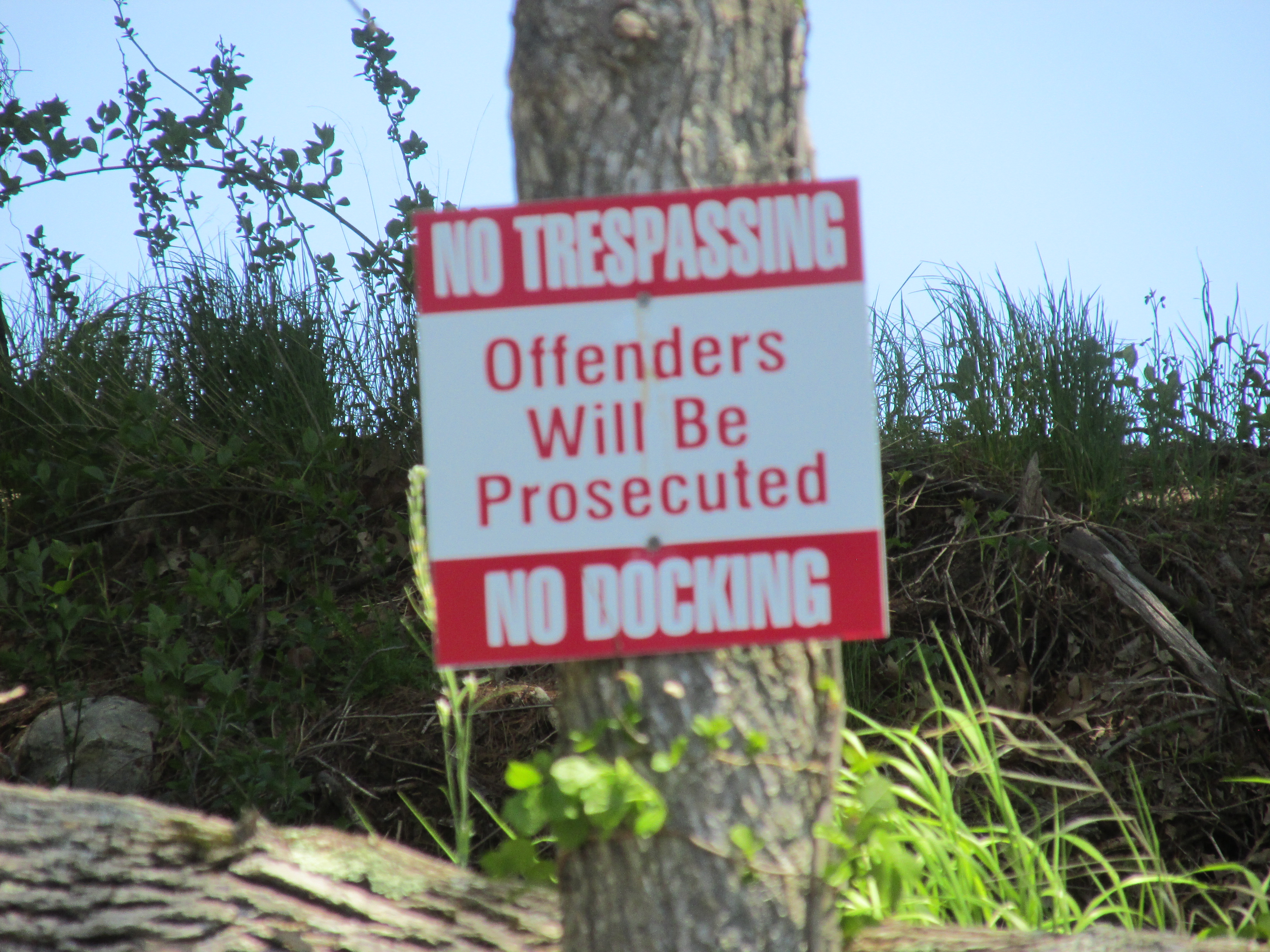
Trash for the week included this reminder of the estimated 4 to 8 million Hooksett Disks which were accidentally released from a wastewater treatment plant 35 miles or so upriver back in 2011...


On the other hand, trash from the Tully River was almost non-existent...

No comments:
Post a Comment