
After launching from Oakland Beach Boat Launch in Warwick, RI, I headed south towards Warwick Light. Along the way I paddled past several working boats, each with a crew member raking the bottom...

Soon I reached Warwick Light...


A quick walk of this stretch of shoreline...
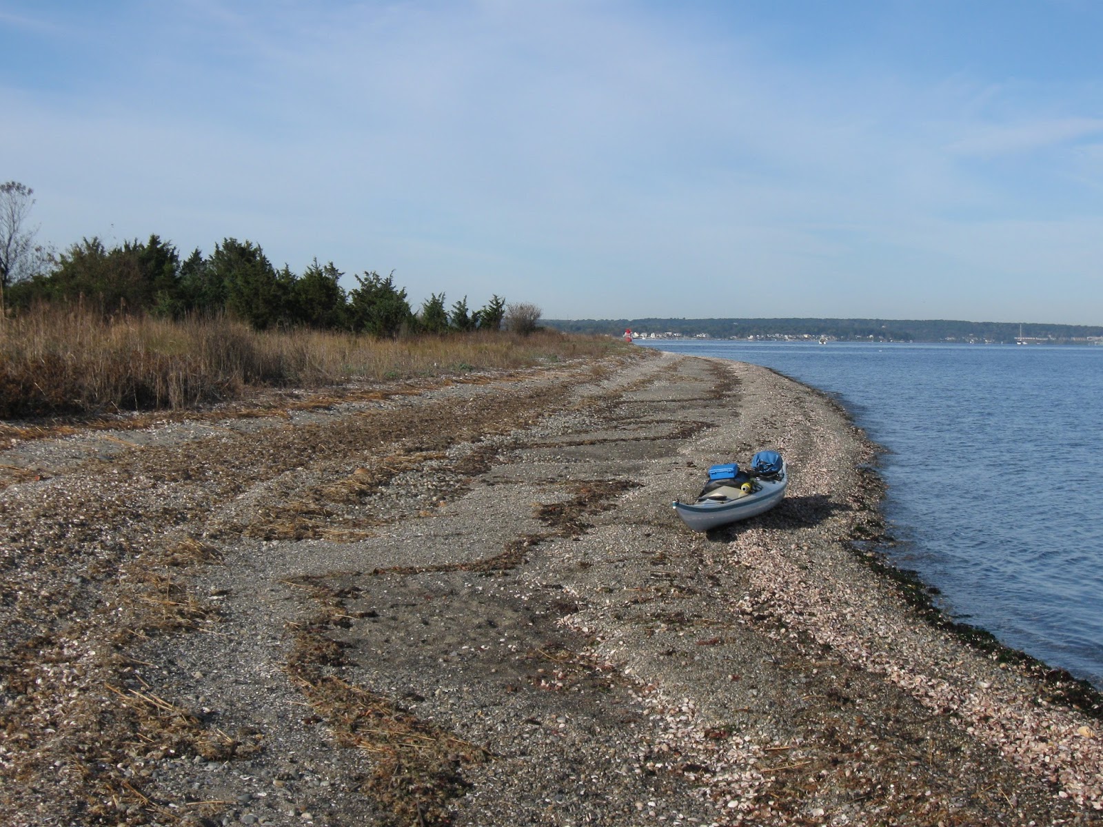

Back on the water I paddled east from Patience over to the nearby and much larger Prudence Island where a brief landing was made...

According to the Dictionary of American-Indian place and proper names in New England by R.A. Douglas-Lithgow the Narragansett people called Patience Island "Chibacoweda" and Prudence Island "Chibachuweset". The islands are situated near the center of Narragansett Bay.
Reaching the south end of Patience my boat's bow pointed southward towards Conanicut Island and the Jamestown and Newport bridges...


Once in about a mile, the inlet began to change in appearance and began to look more like a river...

Ospreys and cormorants were plentiful, as well as this egret...

At the Old Forge Road bridge I reached the end of navigation (without portaging)...

Heading back down the Potowomut...

Where the river enters the bay at Marsh Point, I stopped for lunch at Marsh Point not realizing that across the inlet at Pojac Point there was formerly a 8' by 5' etched stone known as the Narragansett Runestone.
I paddled past Sandy Point and then crossed a very busy Greenwich Bay...was this October 22nd or July 4th?
Anyway, this morning I was still savoring my time on the bay when I read in the Boston Globe that three scientists from the US Environmental Protection Agency (EPA) were not allowed by EPA to speak at a conference discussing the effects global warming are having on Narragansett Bay, the largest estuary in New England.
No comments:
Post a Comment