Wednesday, May 1, 2013

A Paddler's Retreat to Brattleboro

Over the course of the past four days, this paddler would've been best described as both a "Happy Camper" and a "Happy Paddler" .  This was due to the following events converging:  Cobbling together a few days off from work with a stormless weekend; finding a campground that was actually open to tent campers; four consecutive days of better than average weather; no bothersome bugs; and getting to explore several new sections of the Connecticut River and a few of its tributaries.

My base of operations was the Brattleboro North KOA in East Dummerston, VT.  Here my tent was pitched for the four days, and for a reasonable rate I had access to water and electricity.  As I get smarter (or perhaps just older and lazier) I find this type of camping suits me just fine.  While out on the water paddling by day, I can enjoy knowing that the comforts of my already set-up tent and access to a hot shower await.

On Saturday morning I left the campground and started the on-water portion of my retreat at, appropriately enough, Retreat Meadows...
Not far from here, Rudyard Kipling also found retreat at his Naulahka where he wrote "Captains Courageous" as well as other stories...


I launched into the West River and paddled about 1.5 miles upriver until the water became too shallow for my taste.  Enroute I encountered an osprey, a pair of common mergansers, and enjoyed this view upriver before passing under Rt. 91...

Returning downriver I entered the Connecticut River after passing under this railroad bridge...

The New Hampshire side of the Connecticut River has paddlers looking up at the steep slopes of Wantastiquet Mountain.  A shale formation was exposed at the base of this slope...

I paddled downriver to the railroad bridge that once provided rail access to Keene, NH via the Ashuelot Branch of the Boston and Maine Railroad...
This view is looking upriver with Wantastiquet Mountain in the distance.
Just above this point is a small islet with a picnic table where lunch was enjoyed.  Unfortunately, a considerable amount of trash was encountered on this tiny spit of land...
Saturday's haul would ultimately consist of 48 recyclable containers and 16 pieces of misc. rubbish.

The opening photo shows the view returning upriver to Brattleboro and eventually Retreat Meadows.  At the takeout I met Tom, a canoeist from nearby Putney, who'd also recovered trash including a gasoline jug and transmission fluid container while out fishing.  He shared some local knowledge about where to best launch upriver on the Connecticut.
 
On Sunday and Monday I was joined by Capt'n Dangerous of the Adirondack Pirate Paddlers...
No...he didn't just slide down the chute at Whetstone Brook (near downtown Brattleboro) but we did paddle from the Connecticut into this spot later on Sunday. 
The Capt'n also camped at the same campground and had the smallest tent I've ever seen.  In fact it was so small that the campground's staff didn't feel right charging him for such a small footprint and offered him a second night free of charge.
 
The Capt'n and I have been slowly chipping away at paddling the Connecticut River, and over the next two days we would paddle the stretch from Putney, VT down to Rt. 119, and the stretch from Stebbins Island down to Pauchaug Brook (actually and up and back).
 
On the Sunday trip down from Putney we passed by this nest a la Dr. Seuss...
 

and found that some folks are still skiing up this way...

On Monday, with skies more cloudy than sunny, we launched at Pauchaug Brook in Northfield, MA.  No sooner had we got underway than a bald eagle circled at treetop level above our heads...a more than welcome omen at the start of any paddle!

Paddling upriver against the current slowed our progress a bit but we soon entered New Hampshire not far from where a railroad bridge once spanned these abutments...
The bridge was rendered useless after the far left abutment tilted in 1970.

On the Vermont shore this rib cage and skull drew our attention...

We stopped for lunch on an un-named island within sight of the Connecticut's confluence with the Ashuelot River...
The Ashuelot enters from the right after passing under yet another railroad bridge (inactive).
We entered the Ashuelot and paddled against its current for about a half mile before finding things too shallow and too swift.
Returning to the Connecticut we pushed on to Stebbins Island against a current that grew stronger the further upriver we went.  At the island's upriver end, I went ashore briefly hoping to see where a paddler's guide-listed campsite might be found.  The view was not encouraging...

Our return trip to Pauchaug Brook was considerably easier and faster.  Following the paddle, Capt'n Dangerous bid adieu and headed back to the Adirondacks.

The combined trash haul from Sunday and Monday...
There were 26 recyclable containers and 9 pieces of rubbish.


On Tuesday morning I broke camp and headed east with plans to paddle more of the Ashuelot River in Swanzey, NH.  Driving through Keene on Route 10, this view of Monadnock Mountain was appreciated...

Sawyer's Crossing Road brought me to the launchsite at Cresson Bridge (aka NH covered bridge number 6)...
...and I was soon paddling upstream on this river's very clean and cool waters.  It reminded me a little of the Assabet River but the bottom was almost all a sand and gravel mixture.  The banks were fairly muddy leaving sandbars as the best spots to take a break.  Having only seen this river on maps, I hoped to locate where several of its tributaries entered.  The river's south branch was found entering nearly opposite Mount Cresson...
A very easy portage around a blowdown was required before heading further upriver to where Ash Swamp Brook enters by passing under the Ashuelot Rail Trail...

Last, but certainly not least, was Otter Brook which also delivers the waters of Beaver and Minnewawa Brooks...

The flow of this tributary was nearly equal to that of the Ashuelot near the Keene State College athletic complex.

At this point I turned about and began the approximately 3 mile trip back to the takeout.  A sizeable sandbar provided an ideal spot to take lunch and give my day's catch some time on the beach...
Included in this haul was a very un-inflatable raft as well as the usual plastic and polystyrene items.  Recyclable containers numbered 25 with 59 pieces of misc. rubbish. (YTD = 2164)

On my easy downriver paddle an osprey was seen in addition to a pair of common mergansers and before I knew it, my four day retreat was coming to end as Cresson Bridge came into view...


Monday, April 22, 2013

Chased Inland by a Cold Sea Breeze

My original Earth Day plan was to paddle some salty Cape Ann waters late this morning.  However, a stiff wind blowing in off the cold Atlantic Ocean sent me some 30 miles inland to the Sudbury River where I paddled from Route 20 up to Heard Pond and back.  While the winds out of the east were still blowing all afternoon, air temperatures felt a bit warmer than at the coast.  This is the longest month of March I ever remember!

The opening photo was taken near my turnaround point above Heard Pond and at 2:50 pm (the exact time of the first Boston Marathon explosion one week ago).  Church bells could be heard ringing off to the north and the tranquility found on the river today contrasted with last week's horrific events.

Upon beginning my upriver trip Nobscot Hill loomed to the west...
Since it's Earth Day, I wondered if there's any limit to how many antennas one hill can be forced to bear.

Nearby, a Canada goose sat sentry on a beaver lodge (hopefully with beaver family permission)...
...and wasn't welcoming visitors.

The recent construction work on the Pelham Island Road bridge appears to be complete...


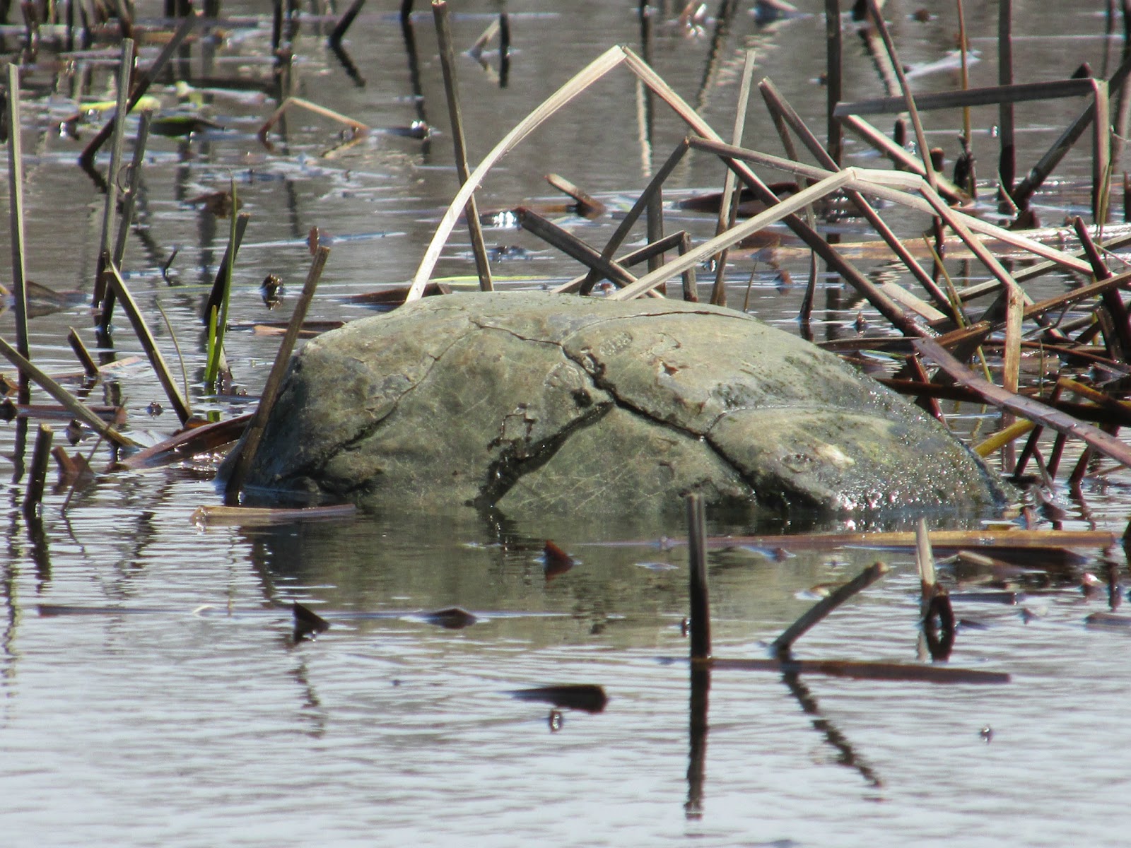
At Indian Point I found water levels high enough to allow passage into Heard Pond.  Paddling through the shallows I noted this solitary rock which seemed out of place...
 Upon closer inspection, it began moving...
 
 
In the pond proper, these 3 cormorants were taking a break from fishing...
Other birds seen today were numerous tree swallows skimming the surface of Heard Pond, red-winged blackbirds, a turkey vulture, and a hawk.
 
Looking out on the pond from a small bluff where lunch was taken...
 
My Earth Day trash haul back at the takeout...
There were 33 recyclable containers (8 redeemable) and 30 pieces of misc. rubbish.  Most of today's trash was found at spots frequented by shore-fishermen.
 
Yesterday, Mrs. Trashpaddler and I scooped up this catch while biking the Bruce Freeman Rail Trail in Chelmsford...
Found on the bike trail were 24 recyclable containers (9 redeemable) and 12 pieces of misc. rubbish.
 
YTD total = 1981
 
Each haul was noted to contain 10 plastic single-serve water bottles of less than 1-liter. 
 
Happy Earth Day!


Saturday, April 20, 2013

Seeking Sanctum on the Sudbury

Following the events of the past week in greater Boston, I'm sure I wasn't the only person seeking a quiet place for thought and reflection on the "day after".  The place providing that sanctum for me was the Sedge Meadows section of the Sudbury River in Wayland.  Here the river flows through the center of a nearly one-mile wide marsh and it was my hope that some kind of sense could be made of the otherwise senseless events.

Prior to launching at Sherman's Bridge Road, a U.S. Fish and Wildlife officer stopped for a friendly visit and verified that I would be wearing a life jacket.   For those not aware,  Massachusetts Law requires all kayakers and canoeists to wear a life jacket when on the water between September 15th and May 15th.

Skies were fittingly moody and the gusty winds out of the west seemed intent on slowing my upriver progress.  The opening photo shows how gray things looked as I returned to the river from a side-channel.

Hawks were plentiful and undeterred by the wind...


A lesser yellowlegs sandpiper stayed close to the ground...

The abrupt end of the old causeway below Route 27 made a good spot for lunch...

Still fairly high water levels allowed passage under the 4-arch "bridge to nowhere"...
...and a loop back to the river via its ancient, though now by-passed, course.

One of three brightly colored balloons encountered on the river today...

Back at Sherman's Bridge the day's catch found shelter from the wind...
There were 22 recyclable containers (8 redeemable) and 42 pieces of miscellaneous rubbish such as a very brittle plastic 5-gallon jug, balloons, plastic bags, and an empty spray paint can.  YTD = 1882

Note that Dunkin' Donuts is kicking off another season with the polystyrene huggies for their iced coffee customers.  Talk about senseless, how can they justify this kind of waste?

Enjoyed my quiet time on the water.  However, no amount of thought on my part could make any sense of recent events and my sympathies go out to the injured, and the families of those killed.

Yesterday will long be remembered as one of the most surreal days ever experienced 'round these parts.


Monday, April 15, 2013

Lobster Cove from Jones River

Lobster Cove (at left) isn't a bad destination for an after work paddle.  In fact, my short journey there this afternoon was quite pleasant as the incoming tide was busy refilling the Annisquam River.  I would find out later that during my time on the water a tragedy was in the making at today's Boston Marathon: a senseless act ruining the lives of many innocent people and bringing disgrace to whatever cause may have inspired it... a sad day in Boston.

I'd pushed off from Long Wharf on the Jones River in Gloucester...
 
It was mid-tide and a group of clammers (I believe) were hauling out their boats as I was preparing to launch mine. 
 
Exiting the Jones River I saw the village of Annisquam lying across the river of the same name...
 
 
On the short paddle over to Lobster Cove I encountered these sandpiper-like birds...
 
...this eider duck...
 
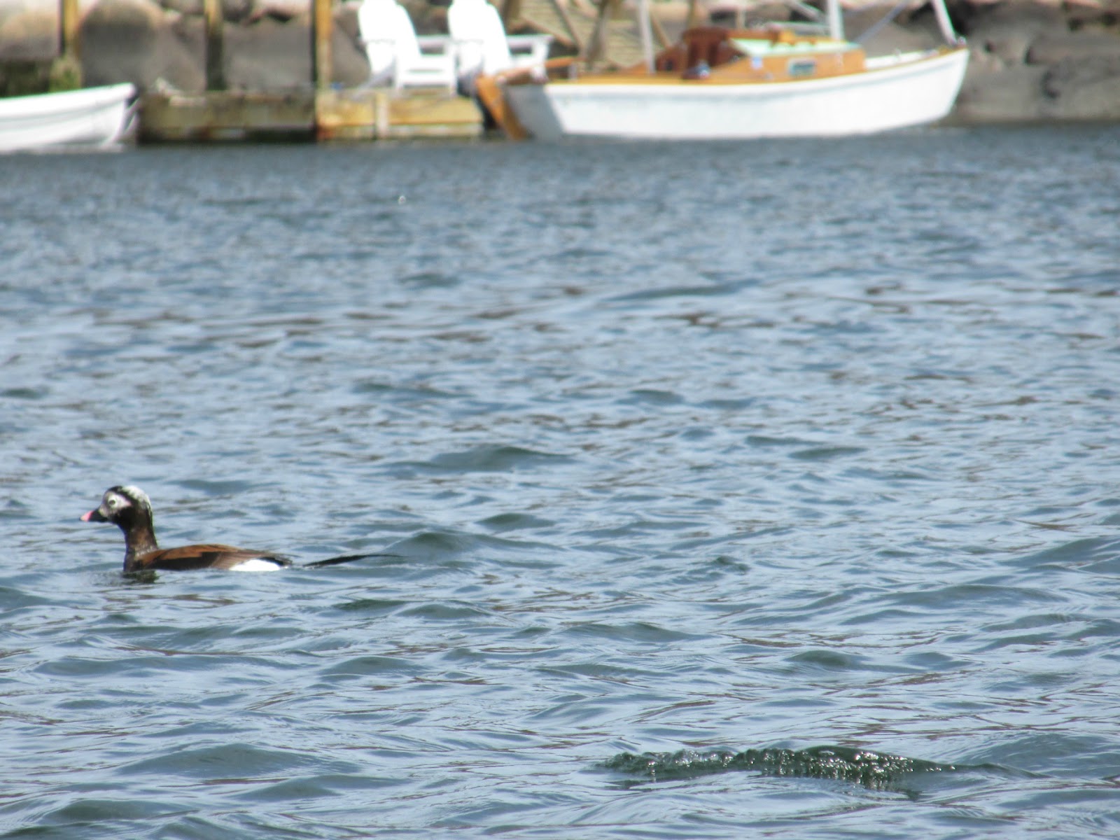
...and this long-tailed duck...
 
A good number of buffleheads were also seen in Lobster Cove.
 
My return trip to Long Wharf included a circumnavigation of Pearce Island which allowed me to take a look at the osprey nest on the small islet to the island's west.  The nest is occupied by one adult...
 
...while the other stands guard in a nearby tree...
 
...and makes frequent sweeps to clear the surrounding area of encroaching herons and egrets.
 
Very little trash was encountered today...
 
There were only 5 recyclable containers (1 redeemable) and 4 pieces of misc. rubbish (plastic bags). 
YTD = 1818  The soda bottle embossed with "Pepsicola" is a type I don't recall having seen in recent times.


Saturday, April 13, 2013

Squeezin' into Fort Meadow Brook

This morning I pushed off from Russell's Bridge at the Maynard/Stow line and headed upriver on the Assabet.  My hope was to enter Fort Meadow Brook if water levels would allow.  Once I arrived there, the box culvert (at left) teased me offering just enough water to clear the beaver-placed branches and sticks but very little in the way of headroom.  It took a couple of minutes but I did manage to squeeze through by grasping the ceiling and both walls using my hands, paddle, and head.  Passage would have been easier had I removed my life jacket.  Once free and in the clear, I was rewarded with this view into the brook...
 
I always enjoy the feeling this place provides.  Even though it isn't really that remote, it somehow feels like a special place to me.  I paddled up to the old Mass Central RR trestle and found a fair amount of water pouring over the debris-clogged east portal...
 
This was probably the result of yesterday's rainstorm.
 
While on the Assabet today I encountered this pair of wood ducks...
 
...this pair of belted kingfishers...
 
...this solitary blue heron...
 
...and this solitary hawk...
 
Also seen today were several other kayakers, including two who could continue making upriver headway while throwing a frisbee from boat to boat without missing.
 
Additionally there were folks fishing from both boats and the shore.
 
My trash haul for this trip gathered hullside...
There were 36 recyclable containers (14 redeemable) and 27 pieces of misc. rubbish.  YTD = 1809
 
Oh yeah, the trip back through the box culvert was much easier going with the flow and sans life jacket.