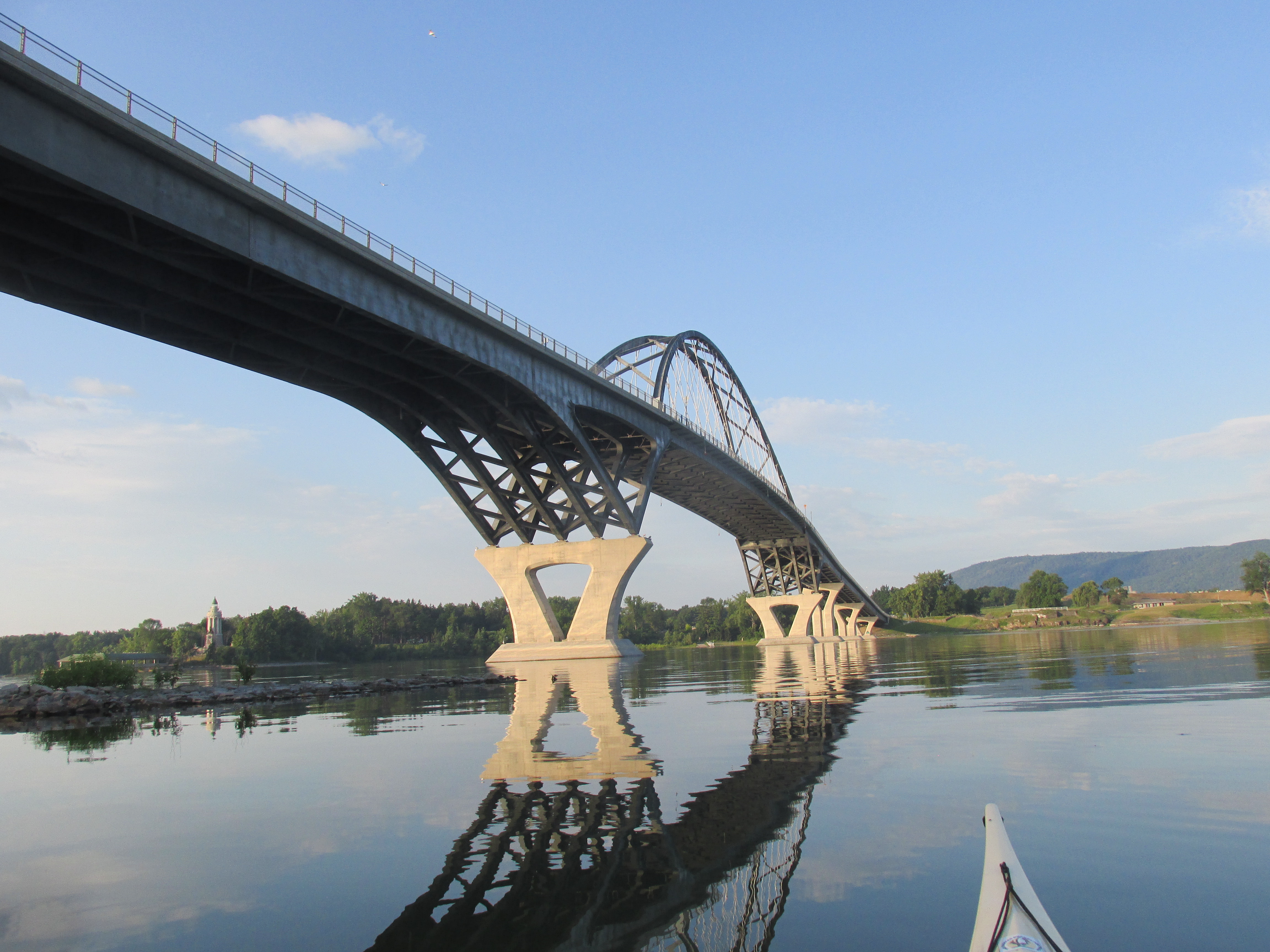
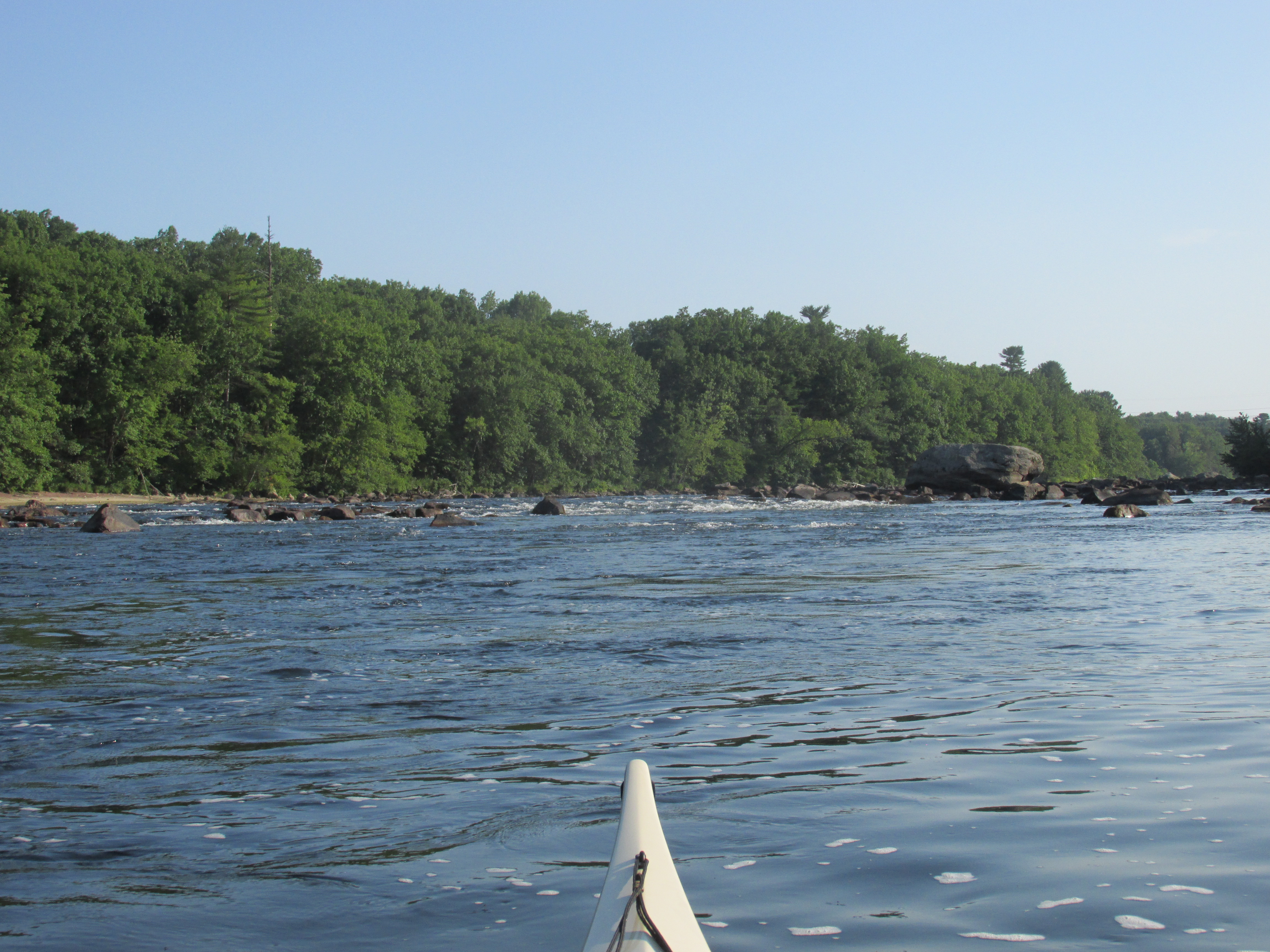
This past Wednesday, after launching my boat under the elegant Lake Champlain Bridge in Addison, VT, I began crossing one of the narrowest spots on the lake from Chimney Point (Vermont side) to Crown Point (New York side). I'd last paddled Lake Champlain back in 2016 when I covered the stretch between Whitehall (aka Skenesborough) and Fort Ticonderoga. Now my goal was to paddle the approximately 14-mile stretch between the strategic locations of Fort Ticonderoga and Crown Point...
...including a short paddle between the Falls of the La Chute river and Fort Ticonderoga.
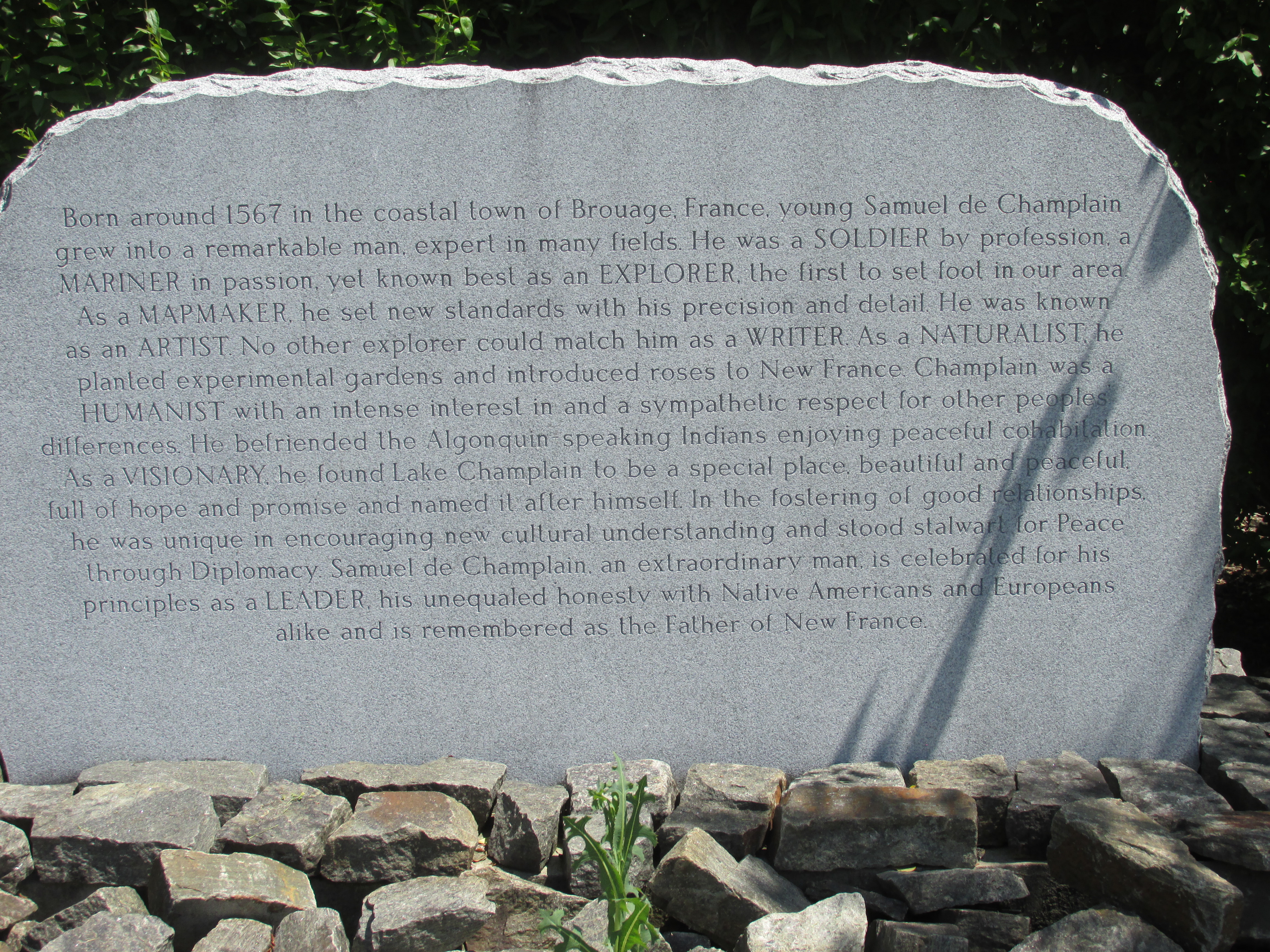
This was my first paddling/car camping trip of the 2022 season and I couldn't have asked for better weather. Camped 3 nights at 10 Acres Campground in Addison, VT a short distance from the Chimney Point boat launch. Other launch sites used during the week were Larrabee Point and LaPhams Bay, both also on the Vermont side of the lake. On the one day I didn't get out on the lake visits were made to Crown Point State Historic Park, Port Henry, NY, and Fort Ticonderoga, NY where much of the area's history is displayed on many kiosks and plaques. Samuel Champlain casts a long shadow over this lake which he named after himself. Memorials to him exist at the Falls of the La Chute and at Crown Point as well as other locations further to the north.
Upon reaching the New York shoreline near the north end of the Crown Point Peninsula I encountered the Champlain Memorial Lighthouse...
...built to commemorate the 300th anniversary of his 1609 voyage up the length of the lake. A closer look shows Champlain with a Huron warrior and a fellow Frenchman...
...the bronze sculpture is by Carl Auguste Heber.
On that 1609 voyage Champlain's Huron and Algonkian allies sought out their traditional enemies, the Iroquois, with plans for a battle. Champlain, two fellow Frenchmen, and 60 Huron and Algonkian warriors traveled in 24 canoes.
I think Champlain would have been pleased to know a bald eagle was perched within sight of his memorial...
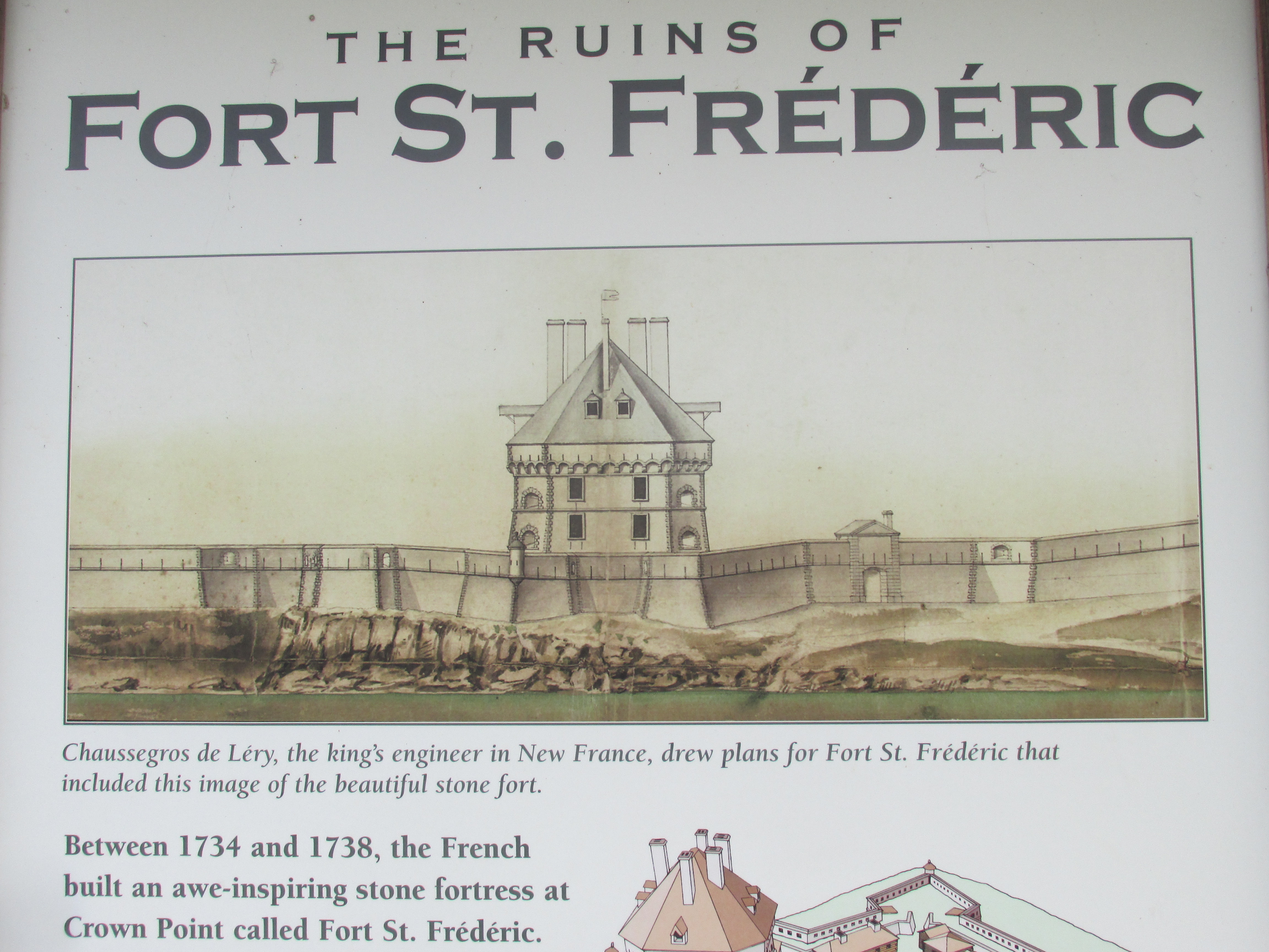
Also on the tip of Crown Point are the ruins of the French Fort St. Frederic...
...which was built in 1734. This drawing by the fort's engineer shows just how impressive it would have looked from the water almost 300 years ago...
Another drawing shows how the fort would have looked within the outer walls...
I try to imagine how native Americans would have perceived such a structure as they paddled past in their canoes.
The French controlled this strategic location until 1759 when, upon the approach of a large English force, they blew up the fort's magazine before escaping to the north. On the east side of the lake similar destruction left nothing but a chimney...hence the name Chimney Point.
Before heading south up the lake, I rounded Crown Point to get a look into Bulwagga Bay...
...where there's been more than a few sightings of the lake monster "Champ". The creature is celebrated in nearby Port Henry with several depictions such as this weathervane...

...and this sign...
A roadside display in Port Henry tallies the sightings...
While I didn't see Champ in Bulwagga Bay I did see a Canadian Pacific Railways freight train wending its way southward hard by the shore...
Took a quick look northward to where the lake significantly widens...
...before turning about and heading southward.
Hickock Point made a great spot for a swim to cool down...
Went as far south as Porters Marsh where I could see a strange formation of what looked to be four boulders further to the south...
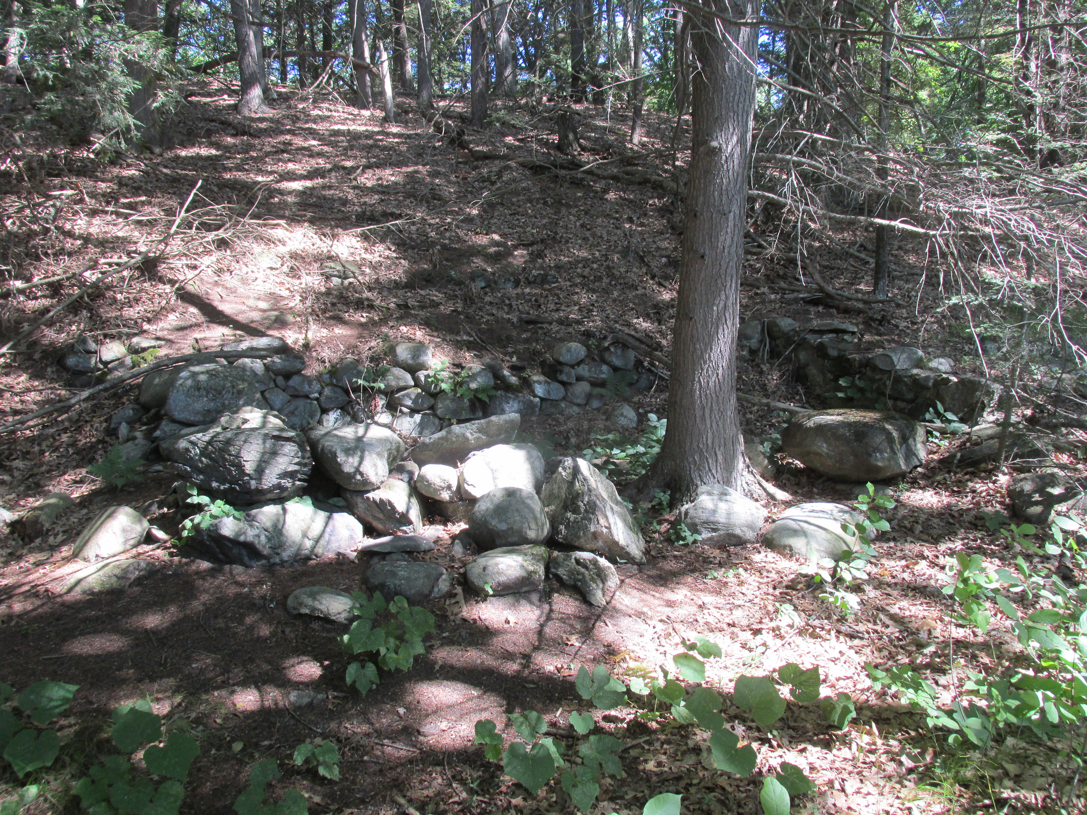
Two days later I paddled north from LaPhams Bay and got a closer look at this formation located near Gilligans Bay. It appeared to be four concrete piers in a very shallow area...
Perhaps they once supported a structure of some kind.
From there I paddled south to Five Mile Point where the large Sylvamo Ticonderoga papermill sits on the lake's opposite shore...
A lake-cruising power boat forged its way southward...
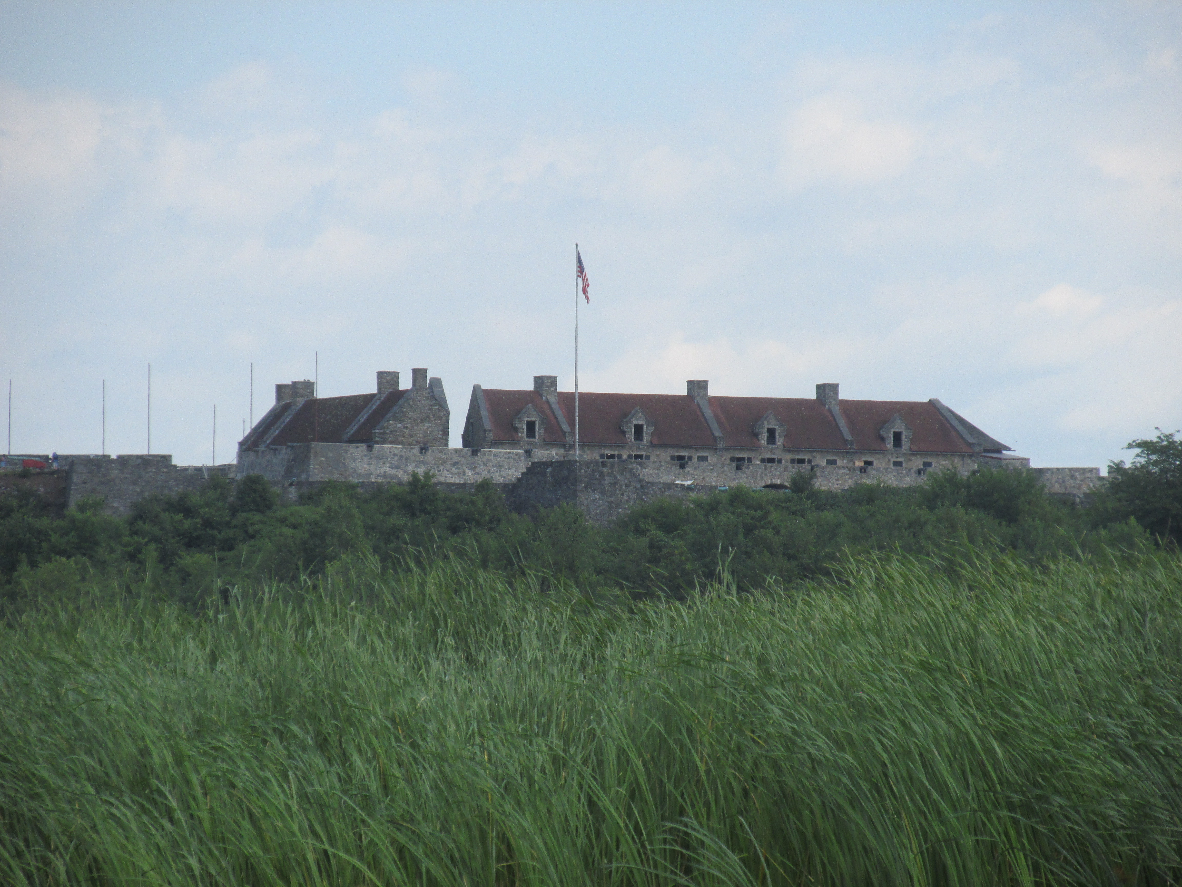
Still further to the south Fort Ticonderoga was reached from Larrabee Point. The fort holds a commanding location over any boats heading up or down lake as well as any boats entering or leaving La Chute River. Here's the fort as seen from the entrance to the La Chute...
Some of the fort's impressive artillery...
...which in 1758 was used by the French in reminding a British expeditionary force that they'd come too far out of the La Chute. When the fort was built in 1755 by the French it was called Fort Carillon. It was renamed Fort Ticonderoga in 1759 when an approaching British force caused the French to retreat after blowing up the fort's magazine, same as they did at Fort St. Frederic. In my visit to Fort Ticonderoga I was most impressed by this plaque at the fort's entrance...
...where the names speak for themselves.
View of the entry passage looking out...
...where I'd walked with my parents and siblings many decades ago when I was about 12 years old.
While looking down upon the lake and the La Chute I espied a rare sight on a railroad for these days...a caboose on a Canadian Pacific Railways freight train...
...almost as rare as seeing a white rhino or Champ.
Southwest of the fort I entered the La Chute River and paddled up to the village of Ticonderoga...
...where I reached the Falls of the La Chute...
The La Chute river flows into Lake Champlain from Lake George and it was near this spot that many a difficult portage commenced or finished. At a landing here I stretched my legs a bit by walking up to yet another monument to Mr. Champlain...
...
...
So the question is just where did the 1609 dustup between Champlain, his Huron/Algonkian friends, and Iroquois take place? Champlain's journal offers these clues: "They (Huron) said also that the lake extended near mountains, some twenty-five leagues distant from us, as I judge. I saw, on the south, other mountains, no less high than the first, but without any snow. The savages told me that these mountains were thickly settled, and that it was there we were to find their enemies; but that it was necessary to pass a fall in order to go there (which I afterward saw), when we should enter another lake, nine or ten leagues long...
Now, as we began to approach within two or three days' journey of the abode of their enemies, we advanced only at night, resting during the day...
When it was evening, we embarked in our canoes to continue our course; and, as we advanced very quietly and without making any noise, we met on the 29th of the month (July) the Iroquois, about ten o'clock at evening, at the extremity of a cape which extends into the lake on the western bank. They had come to fight...
The spot where this took place is in latitude 43 degrees and some minutes, and we named the lake Champlain."
As I understand it, most historians believe the Champlain/Huron Iroquois battle took place near present-day Fort Ticonderoga. However, while looking for the meaning of the word "Bulwagga" I came across the book
Lake George and Lake Champlain by W. Max Reid written in 1910. In addition to stating "Bulwagga" means "false lake" the author goes into great detail as to where the 1609 encounter took place. While acknowledging that most historians say it took place near Fort Ticonderoga, Reid mentions the strong case made by a Dr. George F. Bixby that the actual location of the battle was near the tip of the Crown Point peninsula. Bixby's argument sounds reasonable to me. Of course we'll really never know for sure.
This piece of plastic trash introduced me to the lake's Zebra mussel problem...
The mussels had attached themselves to the bottle's base and were also found attached to beer/soda cans.
Most of the trash I encountered was in the La Chute River...
Very little in the lake itself...
Other problems the lake faces are excessive phosphorus levels, and invasive plants such as milfoil and water chestnut. A free boat/trailer program is in place as seen in Port Henry...
On the Sunday (7/17) before heading to Lake Champlain I paddled a stretch of the Merrimack River launching from Reed's Ferry Landing in Merrimack, NH. Here again Champlain's shadow, though faint, is nonetheless present. In 1605 Champlain was serving as navigator on a coastal exploration by Pierre du Guast, Sieur de Monts when they sailed into the river the Native Americans called the Merrimac. Sieur de Monts and Champlain are believed to have been the first Europeans (recorded) to enter the Merrimack. Champlain decided to name it "Riviere Pont du Guast" or the abbreviated "Rx du Gas" on his 1612 map. Captain John Smith would later change the name back to the Native American "Merrimac".
I paddled up to Moore's Falls where the Thoreau brothers passed thru locks back in 1839...
...as described in
A Week on the Concord and Merrimack Rivers.
At the falls I turned about and headed downriver to a pair of islands...
Thoreau and his brother spent several hours resting on one of these islands.
Near the islands an immature eagle gave me the look-see...
Entered the Souhegan River and paddled a short distance up its shallow waters to the falls...
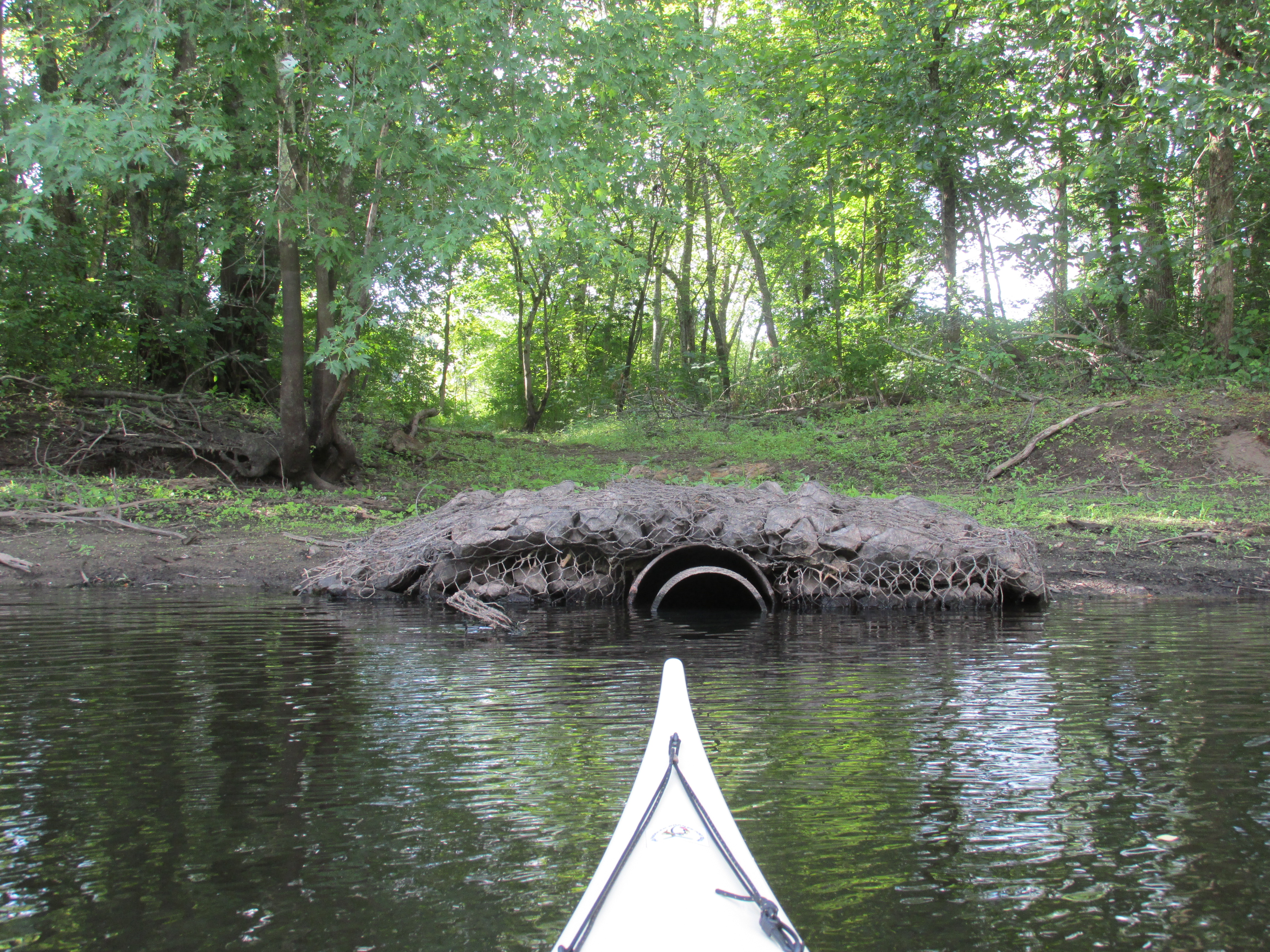
Back on the Merrimack and downriver from the Souhegan a large number of concrete pipes laid along the river's west side in several spots like this...
Wonder what they once conveyed.
Cardinal flowers are beginning to blossom letting me know that summer is nearing its peak...
...as is my paddling season.
Trash gathered up...


.JPG)