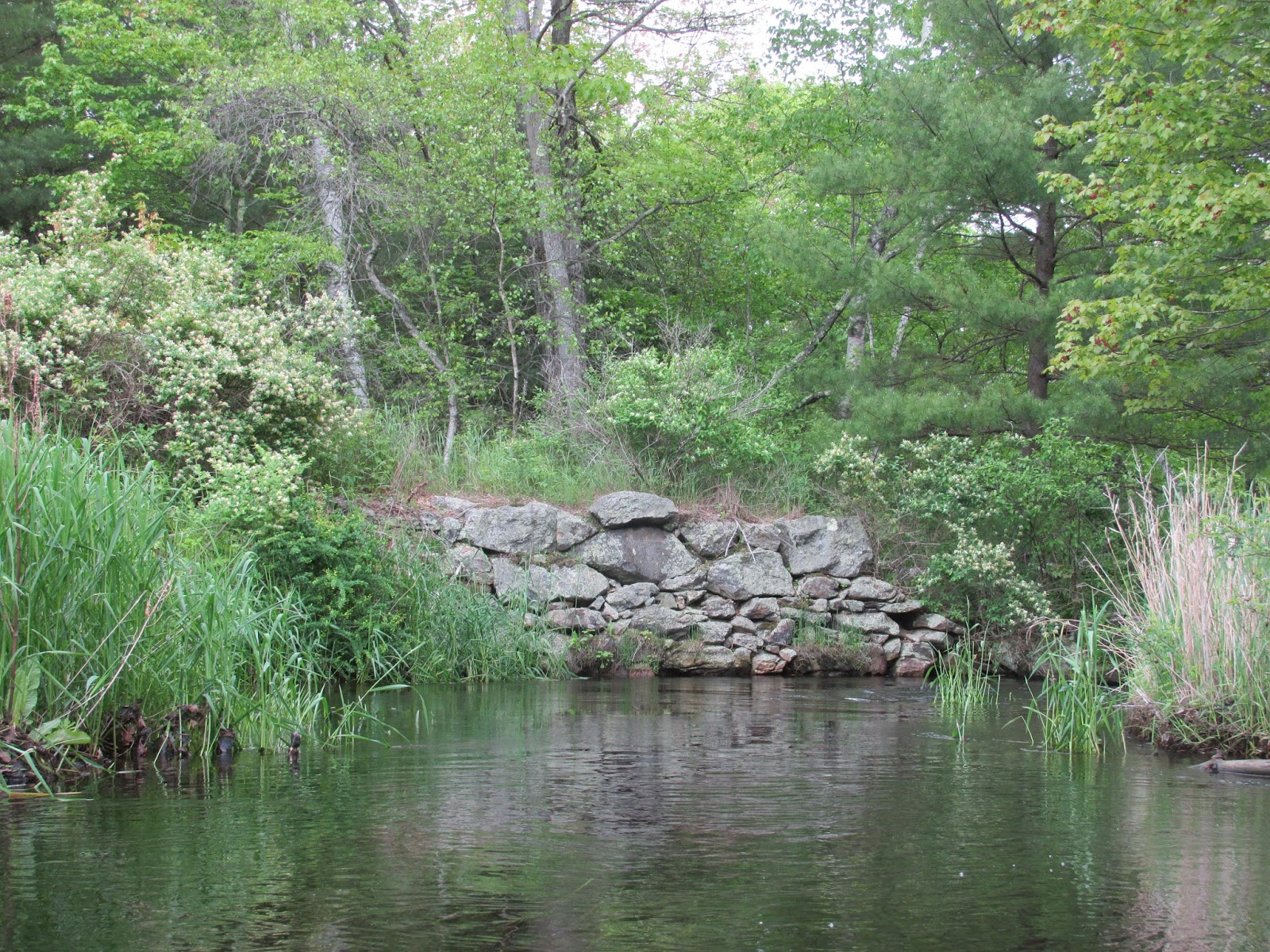
I wasn't the only one looking for a little relief from the heat along the Assabet River yesterday. The above two deer were wiling away the afternoon by a slough upriver from Pine Street in Concord.
At another slough just upriver from Route 2 this deer was spotted through the grass...
Its curiosity brought it closer...
Thanks to the day's light breeze the shady spots provided an oasis.
Route 62 in West Concord...
Trash was on the light side...
Tuesday, June 13, 2017
Saturday, June 10, 2017
Nashaway's Neck Along the Nashua
The sign looked ancient, and I saw it following this morning's paddle on the Nashua River in Lancaster (aka Nashaway). Never would've seen it if not for having taken a wrong turn before starting my drive home. The "Neck" is formed by the Nashua River's North Branch detouring due south to where it combines with the Nashua's South Branch at the "Meeting of the Waters" before heading north once again. This 1943 topo map shows the area known as "The Neck"...
I launched at the Route 117 (Seven Bridge Rd.) canoe launch and first headed downriver 50 yards or so to see if the river was still blocked by a large blowdown.
The good news was the river was no longer completely blocked. The bad news was that what remained of the blowdown had acted as a trash trap...
After working the trap for half an hour it looked better...
...and resulted in this haul...
...from that one blowdown. Like shootin' fish in a barrel!
But wait, there's more...
...from my subsequent trip 'round "The Neck".
More than 50 "Nip" bottles were recovered today. According to the Container Recycling Institute the State of Maine is hoping to place a nickel deposit on these pesky little plastic containers. Unfortunately, Maine's governor is trying to prevent such a deposit.
Speaking of environmental issues, this was a bad week for the Housatonic River. The Environmental Protection Agency (EPA) decided to hold up the agency's previously approved plan for removing PCBs from the Housatonic River. The plan had taken many years to develop.
Once finished with the trash trap I began heading upriver and found blowdowns to be numerous. Reaching the "Meeting of the Waters" any thoughts of ascending the Nashua's South Branch were dismissed...
Upriver from that confluence is this bridge carrying what remains of the Boston and Maine Railroad's Worcester, Nashua, and Portland division...
At the bridge's south end is the location of a historic Native American cemetery to the east, and this "Hobo Jungle" to the west...
The daily freights moving past this spot are designated as POSE and SEPO as they connect Portland, ME with Selkirk, NY. When moving through this area the sometimes very long trains move at a snail-like 10 mph.
This past Wednesday I paddled a short stretch of the Ipswich River in Danvers launching from Mortalo Landing on Rt. 62. Both the day and the river were beautiful...
Found this stretch of the Ipswich to be very clean yielding only this small amount of trash...
I launched at the Route 117 (Seven Bridge Rd.) canoe launch and first headed downriver 50 yards or so to see if the river was still blocked by a large blowdown.
The good news was the river was no longer completely blocked. The bad news was that what remained of the blowdown had acted as a trash trap...
After working the trap for half an hour it looked better...
...and resulted in this haul...
...from that one blowdown. Like shootin' fish in a barrel!
But wait, there's more...
...from my subsequent trip 'round "The Neck".
More than 50 "Nip" bottles were recovered today. According to the Container Recycling Institute the State of Maine is hoping to place a nickel deposit on these pesky little plastic containers. Unfortunately, Maine's governor is trying to prevent such a deposit.
Speaking of environmental issues, this was a bad week for the Housatonic River. The Environmental Protection Agency (EPA) decided to hold up the agency's previously approved plan for removing PCBs from the Housatonic River. The plan had taken many years to develop.
Once finished with the trash trap I began heading upriver and found blowdowns to be numerous. Reaching the "Meeting of the Waters" any thoughts of ascending the Nashua's South Branch were dismissed...
Upriver from that confluence is this bridge carrying what remains of the Boston and Maine Railroad's Worcester, Nashua, and Portland division...
At the bridge's south end is the location of a historic Native American cemetery to the east, and this "Hobo Jungle" to the west...
The daily freights moving past this spot are designated as POSE and SEPO as they connect Portland, ME with Selkirk, NY. When moving through this area the sometimes very long trains move at a snail-like 10 mph.
This past Wednesday I paddled a short stretch of the Ipswich River in Danvers launching from Mortalo Landing on Rt. 62. Both the day and the river were beautiful...
Found this stretch of the Ipswich to be very clean yielding only this small amount of trash...
Monday, June 5, 2017
Getting the Jump on June
As is their custom the New Hampshire Appalachian Mountain Club paddlers conducted a "Trash Patrol" on the first Saturday of the new month.
Around a dozen boats (canoes and kayaks) launched from the Nashua River's Millyard Office Park Boat Ramp.
The launch is now operated by the City of Nashua and sports a kiosk and new signage...
Under Denise Hurt's direction paddlers worked a 2 mile stretch of the river upstream from the boat launch.
Paddlers recovered trash from behind fallen branches...
..and fallen trees...
Once sorted and bagged the trash looked almost presentable...
Along with bags of recyclable containers and non-recyclable rubbish were a wheelbarrow, traffic cone, bicycle, and truck tailgate. All of it "better out than in".
The following day, back in the Bay State, I enjoyed a serene Sunday morning paddle on the Concord River from Egg Rock down to Davis Hill and back.
The Old North Birdge...
A stand up paddleboarder...
Trash was on the light side until the contents of a single floating plastic "Party Bag" filled my crate...
Because the bag had been securely tied before being released into the river its contents: 20 Solo cups, 12-pack of Bud cans, and 7 empty Gatorade bottles were prevented from going their separate ways...
This musquash with a voracious appetite was oblivious to all except the green shoots of grass it was eating...
The river looking north had the look of June...
Around a dozen boats (canoes and kayaks) launched from the Nashua River's Millyard Office Park Boat Ramp.
The launch is now operated by the City of Nashua and sports a kiosk and new signage...
Under Denise Hurt's direction paddlers worked a 2 mile stretch of the river upstream from the boat launch.
Paddlers recovered trash from behind fallen branches...
..and fallen trees...
Once sorted and bagged the trash looked almost presentable...
Along with bags of recyclable containers and non-recyclable rubbish were a wheelbarrow, traffic cone, bicycle, and truck tailgate. All of it "better out than in".
The following day, back in the Bay State, I enjoyed a serene Sunday morning paddle on the Concord River from Egg Rock down to Davis Hill and back.
The Old North Birdge...
A stand up paddleboarder...
Trash was on the light side until the contents of a single floating plastic "Party Bag" filled my crate...
Because the bag had been securely tied before being released into the river its contents: 20 Solo cups, 12-pack of Bud cans, and 7 empty Gatorade bottles were prevented from going their separate ways...
This musquash with a voracious appetite was oblivious to all except the green shoots of grass it was eating...
The river looking north had the look of June...
Thursday, June 1, 2017
Three Streams in a Theme
On Monday the Sudbury in Wayland beckoned...
On Tuesday the Assabet in Stow called...
...and on Wednesday the Otter River in Gardner begged exploring...
The theme was plenty of clouds and plenty of water. Another theme to compliment the whole mood was my repeated playing of Fantasia on a Theme by Thomas Tallis on my listening device. The perfect soundtrack while paddling past this Canada goose atop a beaver's lodge on the Sudbury...
...and being escorted from the river into Heard Pond by this squadron of mute swans...
Remembering how beautiful this music was in the movie Master and Commander: the Far Side of the World it seemed only appropriate to hear it as I passed from the Assabet into Fort Meadow Brook's via the portal...
Once on the far side I paddled up to the abandoned railroad trestle and found a rare opportunity to pass beyond...
...to where an osprey nest stood tall...
...and its owner perched nearby...
A couple of heron? nests way up high...
While back on the Assabet this spring's cygnets stayed close to Ma...
Not to be outdone the Otter River had these tiny wood ducks...
While it was fairly novel to paddle into Heard Pond from the Sudbury and Fort Meadow Brook from the Assabet, my real exploring was done on the Otter River where new waters were being experienced for the first time and that's hard to beat.
Last week I'd explored the Otter River Headwaters paddling 3 miles upriver from Plant Road in E. Templeton. Yesterday my plan was to explore the next section of river downstream of Plant Road to the Cummings Conservation Area. Reading the Millers River Blue Trail Guide by the Millers River Watershed Association I saw mention of a 1/3 mile portage trail between the Otter River and Bridge Street. Thinking that launching from this trail would allow me to explore upstream and then back down, I scouted out the Cummings Conservation Area from the Bridge Street entrance. I followed a trail marked with blue ribbons but was never able to find any path leading to the river. So, it was from Plant Road that I started and headed downriver after ducking under the pipe-crossing...
...which had considerably less headroom last week.
Below Route 101 I came across a blowdown quite literally. From that point down, the Otter River winds its way with a wilderness look and feel. I passed under this frail-looking bridge...
...and was surprised when a vehicle actually drove across it.
The Pan Am Southern Railroad runs through the Cummings Conservation Area and crosses the river just before leaving it...
Ultimately I reached the old dam at Shoddy Mill...
...where there's no warning of any kind. Paddle past the pictured stump and you'll be airborne!
Back in the late 1800s the Otter River Company's 9 building mill complex straddled the river here. There are references to the site as R.S. Frost Co., Otter River Yarn Co., and Turner Shoddy Mills. It's said they manufactured horse blankets from shoddy or "rag-wool". All of the buildings are long gone with only the dam and some 1871? stonework remaining...
The mill's main building stood on the Templeton side where the only good landing spots are located. Unfortunately downriver travelers are greeted with a "shoddy" welcome...
At least I knew I'd be turning around and heading back upriver. Those planning to exit the river here would have to be creative.
The Blue Trail Guide shows a "Canoe/Kayak Access Point" being located before the dam on the east or Gardner side of the river. I did see a tree with some blue ribbons hanging from limbs but it didn't look like an easy spot to takeout or launch from. Perhaps water levels are just too high.
The Blue Trail Guide also shows a "Paddle Stop" (picnic area) being located within the Cummings Conservation Area, but I never saw any signs indicating its location. It may have been the spot with a fire ring at a sharp bend in the river where I did mange to pull out. If so, it just needs a sign.
On my return trip upriver the sun finally decided to put-in an appearance...
Near the end of my trip I noticed this pile of tires (about a dozen) on the river's west bank about 50 yards below Route 101...
Trash yesterday from the Otter...
On Tuesday the Assabet in Stow called...
...and on Wednesday the Otter River in Gardner begged exploring...
The theme was plenty of clouds and plenty of water. Another theme to compliment the whole mood was my repeated playing of Fantasia on a Theme by Thomas Tallis on my listening device. The perfect soundtrack while paddling past this Canada goose atop a beaver's lodge on the Sudbury...
...and being escorted from the river into Heard Pond by this squadron of mute swans...
Remembering how beautiful this music was in the movie Master and Commander: the Far Side of the World it seemed only appropriate to hear it as I passed from the Assabet into Fort Meadow Brook's via the portal...
Once on the far side I paddled up to the abandoned railroad trestle and found a rare opportunity to pass beyond...
...to where an osprey nest stood tall...
...and its owner perched nearby...
A couple of heron? nests way up high...
While back on the Assabet this spring's cygnets stayed close to Ma...
Not to be outdone the Otter River had these tiny wood ducks...
While it was fairly novel to paddle into Heard Pond from the Sudbury and Fort Meadow Brook from the Assabet, my real exploring was done on the Otter River where new waters were being experienced for the first time and that's hard to beat.
Last week I'd explored the Otter River Headwaters paddling 3 miles upriver from Plant Road in E. Templeton. Yesterday my plan was to explore the next section of river downstream of Plant Road to the Cummings Conservation Area. Reading the Millers River Blue Trail Guide by the Millers River Watershed Association I saw mention of a 1/3 mile portage trail between the Otter River and Bridge Street. Thinking that launching from this trail would allow me to explore upstream and then back down, I scouted out the Cummings Conservation Area from the Bridge Street entrance. I followed a trail marked with blue ribbons but was never able to find any path leading to the river. So, it was from Plant Road that I started and headed downriver after ducking under the pipe-crossing...
...which had considerably less headroom last week.
Below Route 101 I came across a blowdown quite literally. From that point down, the Otter River winds its way with a wilderness look and feel. I passed under this frail-looking bridge...
...and was surprised when a vehicle actually drove across it.
The Pan Am Southern Railroad runs through the Cummings Conservation Area and crosses the river just before leaving it...
Ultimately I reached the old dam at Shoddy Mill...
...where there's no warning of any kind. Paddle past the pictured stump and you'll be airborne!
Back in the late 1800s the Otter River Company's 9 building mill complex straddled the river here. There are references to the site as R.S. Frost Co., Otter River Yarn Co., and Turner Shoddy Mills. It's said they manufactured horse blankets from shoddy or "rag-wool". All of the buildings are long gone with only the dam and some 1871? stonework remaining...
The mill's main building stood on the Templeton side where the only good landing spots are located. Unfortunately downriver travelers are greeted with a "shoddy" welcome...
At least I knew I'd be turning around and heading back upriver. Those planning to exit the river here would have to be creative.
The Blue Trail Guide shows a "Canoe/Kayak Access Point" being located before the dam on the east or Gardner side of the river. I did see a tree with some blue ribbons hanging from limbs but it didn't look like an easy spot to takeout or launch from. Perhaps water levels are just too high.
The Blue Trail Guide also shows a "Paddle Stop" (picnic area) being located within the Cummings Conservation Area, but I never saw any signs indicating its location. It may have been the spot with a fire ring at a sharp bend in the river where I did mange to pull out. If so, it just needs a sign.
On my return trip upriver the sun finally decided to put-in an appearance...
Near the end of my trip I noticed this pile of tires (about a dozen) on the river's west bank about 50 yards below Route 101...
Trash yesterday from the Otter...
...and Tuesday from the Assabet...
...and Monday's bit from the Sudbury...
With June here I'm ready for a new theme.
Subscribe to:
Posts (Atom)