
In preparation for my visit, a wealth of information tailored to paddlers was found on the Web site of the Taunton River Watershed Alliance. I decided to launch at Weir Village Park in Taunton and ride the ebbing tide down to Dighton Rock State Park. This required getting underway as the sun was just beginning to illuminate the old mill buildings across the river (photo above).
Heading downriver, I passed the Taunton Wastewater Treatment Plant and below that a power generating plant having the largest cooling tower I've seen...

Reaching the confluence with Three Mile River, I paddled up as far as the Route 138 bridge...


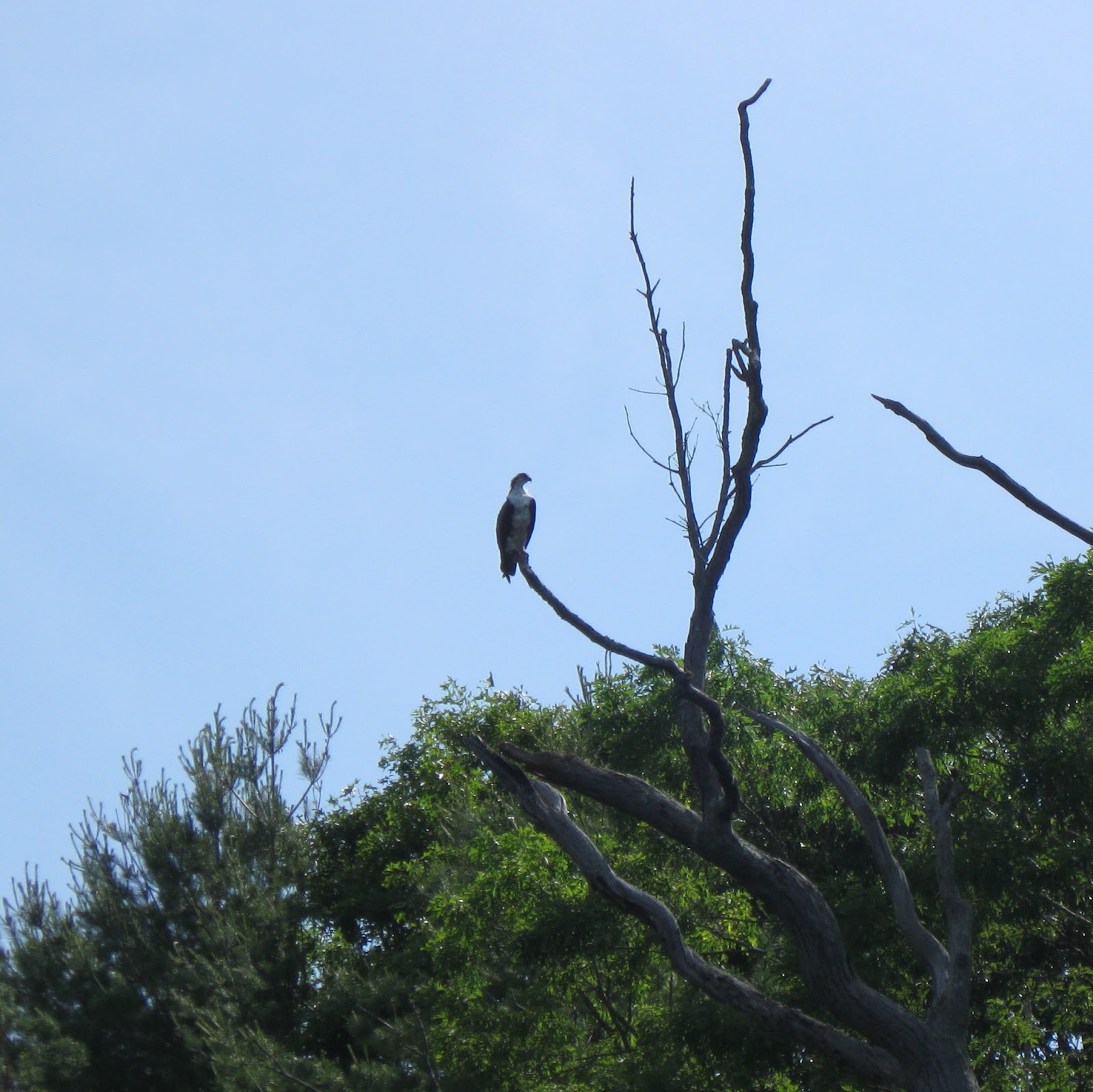
This boat had two masts and two ospreys...

This one splashed down but would come up empty taloned...

The fishing must be good to support so many of these "fish hawks". At times there were as many as 4 circling overhead.
It was just about 9 am when Dighton Rock State Park was reached...

The namesake boulder is now housed inside the museum building and can be seen by appointment. The park staff had not arrived yet, so my chance to decipher the ancient petroglyph will have to wait for another visit. A tablet explains that there are 4 theories currently in play...

In the area of Dighton Rock the river has a salt water feel and look...

Another 8 miles below this point is where the river empties into Mount Hope Bay and the area called Pokanoket by the Wampanoag people. Pokanoket and, most likely, Titicut were the home waters of Ousamequin (aka Massasoit). It is probably quite likely that the great sachem paddled these same waters himself on occasion.
However, for me Dighton Rock would be my turnaround point and my trip back upriver commenced.
At a sandy spot along the way, the day's modest trash haul spread out...

There were 24 recyclable containers (6 redeemable) and 29 pieces of miscellaneous rubbish such as plastic bags, styrofoam cups, and nip bottles. YTD = 3265
Today's enjoyable time on the Taunton River left me wanting to experience other sections of this river in the future...

No comments:
Post a Comment